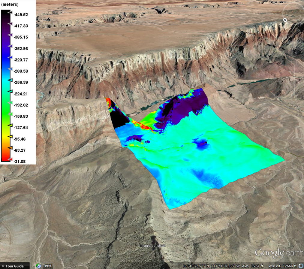
I am working with a group of 3 students and we did everything in Sentinel 1 and got a DEM but we are having trouble interpreting the DEM. Does anyone know what the meters or anything mean? It does not seem to make sense with the elevation since we overlayed it in google earth. I am not too familiar with meters so I am just very confused. Can anyone explain what it means?
Hi
now, you must extract the elevation from the height relative:
Interferometric — Product — Phase to elevation