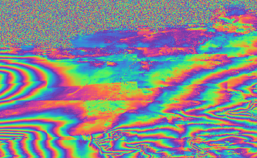
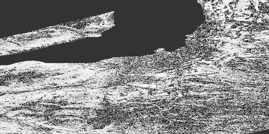
I am trying to understand what caused some of the fringes in my interferogram to be shifted / detached. It also looks as if lines are running through the interferogram (the noise in the upper part is caused by the ocean):
I have followed the standard steps:
Split - Orbit - Back-Geocoding - Enhanced Spectral Diversity - Interferogram - Deburst - Goldstein Phase filtering - Snaphu - Phase to Displacement.
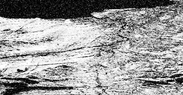
The coherence looks fine:
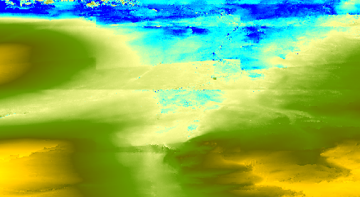
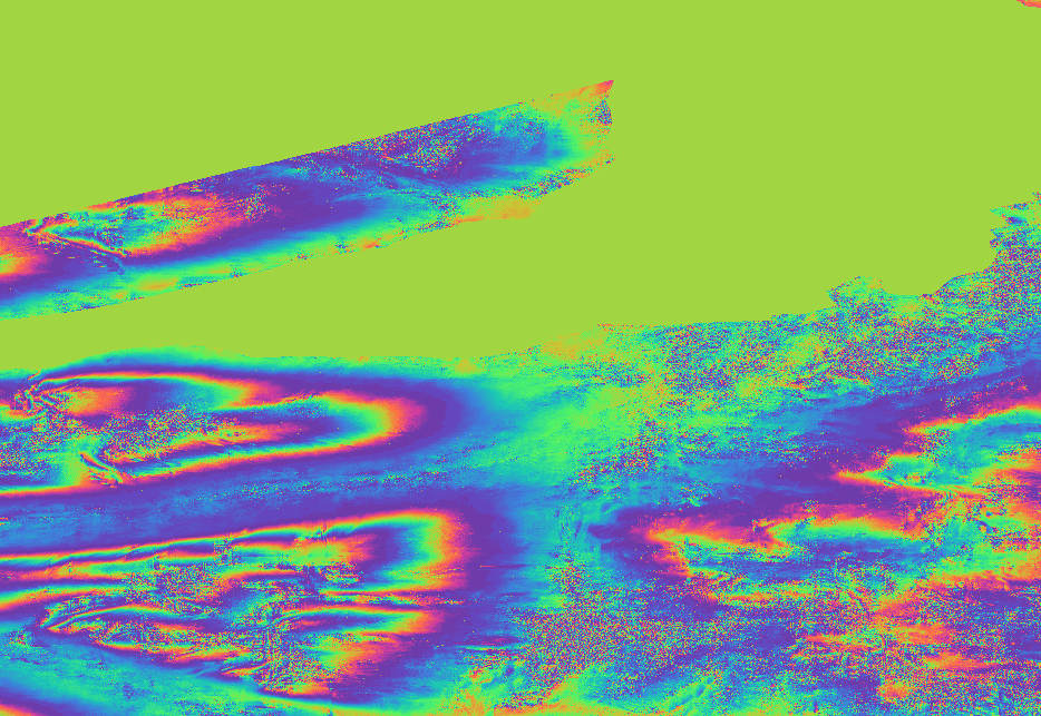
But the displacement displays of course the same pattern as the interferogram:
Any ideas on the cause of this pattern?
I appreciate any feedback
They are visible already after the interferogram generation. I used the default values and for back-geocoding and topographic phase removal an external DEM, as the study area is in NE-Greenland.
The aim is to derive the ground subsidence.
Thanks for the hint with the DEM! Using the ACE30 the breaks in the interferogram were strongly reduced.
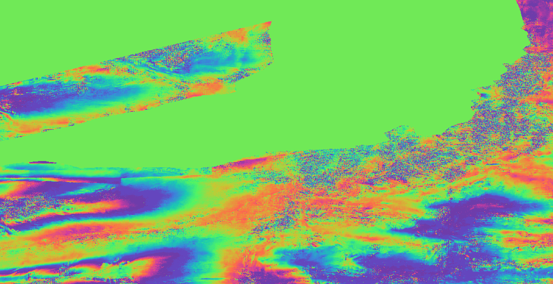
There are still some errors around the mountains in the study area:
The error around the mountains remains no matter if the topographic phase is removed during the interferogram creation or after interferogram - deburst with topgraphic phase removal.
When disabling the topographic phase removal the pattern around the mountain peaks is gone.
I can’t think of a reason. It is obviously caused by the DEM, but it does not make sense that higher quality DEMs have stronger artefacts. Are these extreme landforms where it happens?
Maybe it’s worth testing the AW3D30 as an external DEM: https://www.eorc.jaxa.jp/ALOS/en/aw3d30/index.htm