Hi,
Do you have any detail documentation about each algorithm?
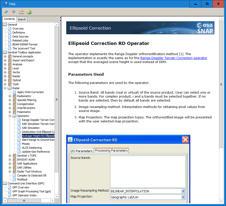
especially, I’d like to know about ‘slant range to ground range’ and ‘Ellipsoid correction using average height’ that correspond to level processing in other satellites. (e.g. SSC to MGD and SSC to GEC in TSX)
Thank you very much.
Additionally, may I ask your opinion about one question?
I want to display some pixels in the original SLC image and retain those pixels after SRGR and Ellipsoid correction processing.
Do you think I can convert the original pixel coordinates to processed image pixel coordinates by referring to the github equations you gave me?
Or should I find those pixels again in the processed images?