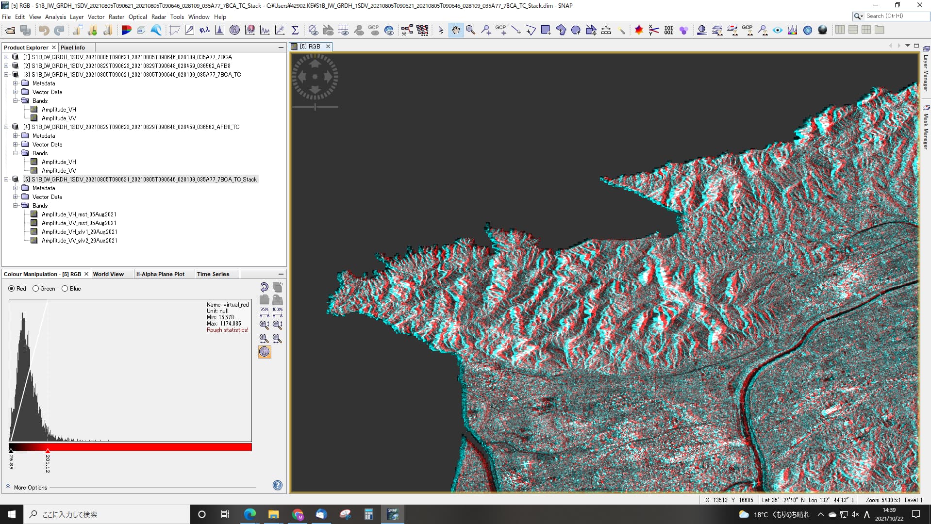
I want to make a color composite image for 2 period.
After terrain correction, overlay images (create stack) to display in RGB .
Then, the two images are out of alignment.
The data after terrain correction is already slightly off.
I would like to know the solution.
Please show a screenshot.
Thank you. Which DEM was used for terrain correction?
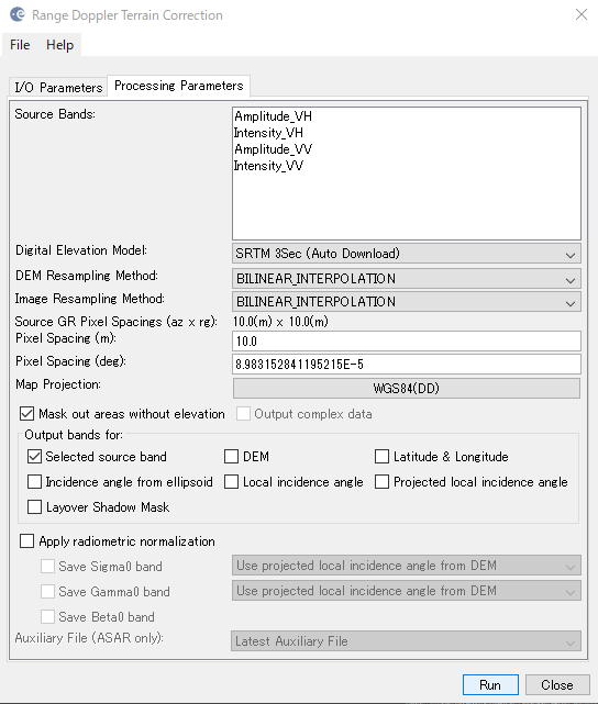
Please use SRTM 1Sec AutoDownload for a test. Its spatial resolution is 10 times higher.
Also, instead of stacking, you can try the Coregistration on the terrain corrected inputs (use product geolocation as initial offset method) to get better results.
The result was so good that I couldn’t believe it.
thanks so much.