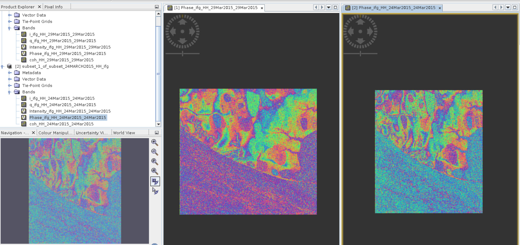
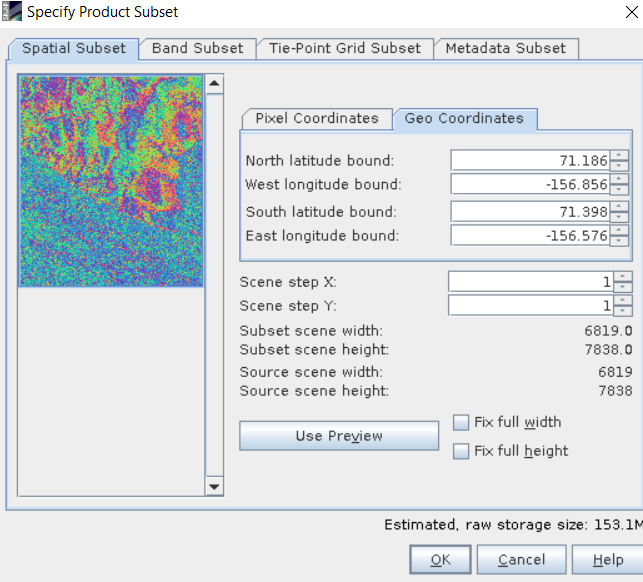
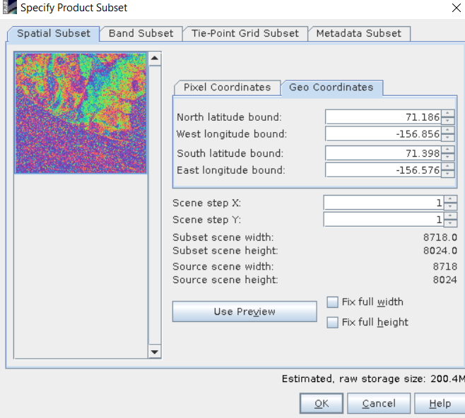
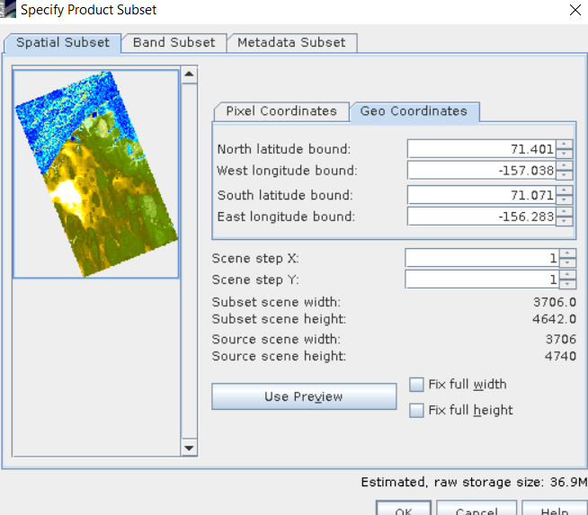
Then as both interferograms cover my area of interest, then I used ‘spatial subset from view’ and subset areas with same ‘geo cordinates’ but when I look at images then I understood ‘source sence width’ and ‘source scene height’ have very difference.
were these the ones with largely different perpendicular baselines?
I guess, the slant geometry is different because of different incidence angles as well. Coregistration of both datasets will probably fail. Is it an option to terrain correct both interferograms (or the information derived from them) and stack them afterwards?
I see no error here. The first data simply has a different footprint, thereby covering a larger area. But as long as the images are not distorted towards each other (I don’t think this is the case), everything should be fine.
The collocation tool brings both into one product of common extent, which is necessarily the maximum coverage of both inputs (=union).
But while some pixels contain data in one image, they are left empty (nodata) in the other.
You might get some regions at the bottom of the scene which are covered by one image only, but I see nothing wrong with this. Or do I misunderstand your problem?
the number of looks strongly depends from the incidence angle and the ratio between azimuth and range resolution. It is probable that the products are different regarding this.
But incase you applied independent looks, you created rectangular pixels which also might explain the difference between your images.
Try to find a resolution that works well for both while still contains square pixels. It’s even sufficient if they are close (5 and 7 meters) because the collocation resamples both to the resolution of the master image.
But I still see no need for multi-looking or collocation at an early stage if you simply want to derive height changes. Produce unwrapped interferograms at the native resolution in slant geometry and then convert the unwrapped phase to elevations. Terrain correct both (uncheck to mask out areas without elevation) and then use collocation as the last step. This brings both elevations into one product and you can subtract them in the band maths to highlight changes.