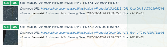
When I search my area for S2 L1C on the copernicus open access hub, there are 2 overlapping images with different tile sizes; one is a full square and the other is a subset. In the example below, the file names are identical except one is “T17SKT” and the other is “T17SKU”. Does anyone know why the images are available in these 2 sizes and if there are any differences?
17SKT and 17SKU are tiles next to each other
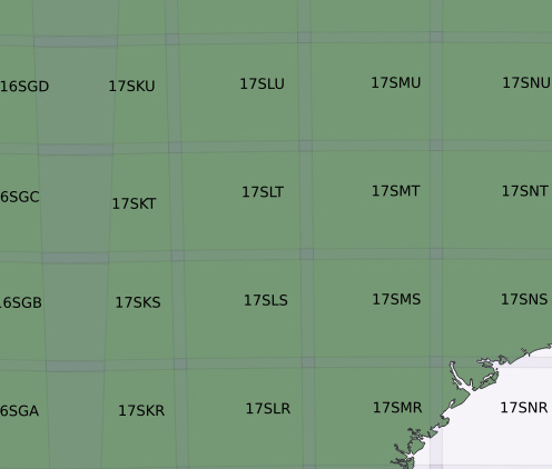
So I would assume that they are two parts of the same swath but not the same “image”
1 Like
Hello Courtney,
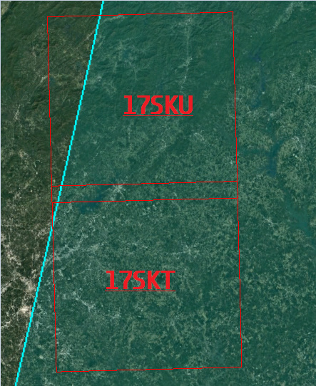
17SKU lies above 17SKT in the TILPAR (Tiling Parameters grid). In the image, I have overlaid the Orbit (2597-2) from the
Acquisition Plan for that period.
You can see that 17SKU is at the lefthand edge of the swath, and that as a consequence of it being further north than 17SKT, it intersects less with the Orbit.
Cheers
Jan
S2MPC/CC Operations Manager
Hi Jan,
Thank you very much for the reply and explanation. The visual is very helpful.
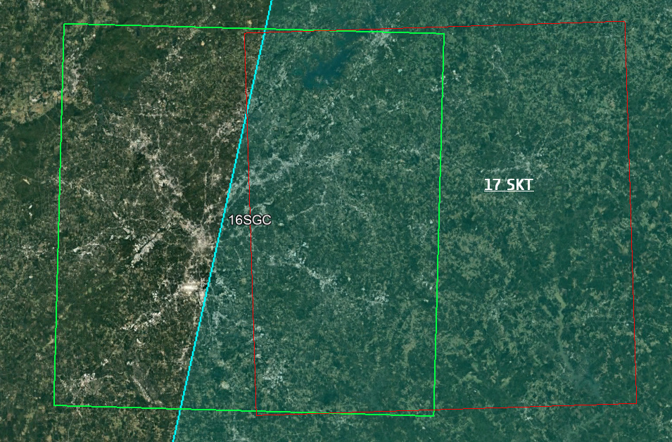
I meant to show the overlap between 16SGC and 17SKT which are side-by-side. My understanding is that the orbit over this area covers 2 different tiles, so 2 different data products are available, but they should have the same information where they overlap - is this correct?
Thank you
Courtney
Hi Courtney
No worries. I’m here to help.
16SGC and 17SKT overlap partially - maybe 50% - with the eastern half of 16SGC covering a similar area to the western half of 17SKT. So, if your AOI was in that area, then you have more data to play with 
Here’s the overlay of the UTM Zone grid that shows your Tiles relative to UTM Zones 16 and 17

I hope this helps.
Cheers
Jan
Thank you!
1 Like