because you selected the Terrain Corrected data set. I explained above why this makes no sense, so please have a look at DInSAR work flows instead of randomly clicking buttons.
Sorry if this sounded harsh, we like to help. Especially for beginners SAR can be tricky, but it requires a bit of background knowledge before application.
Dear ABraun,
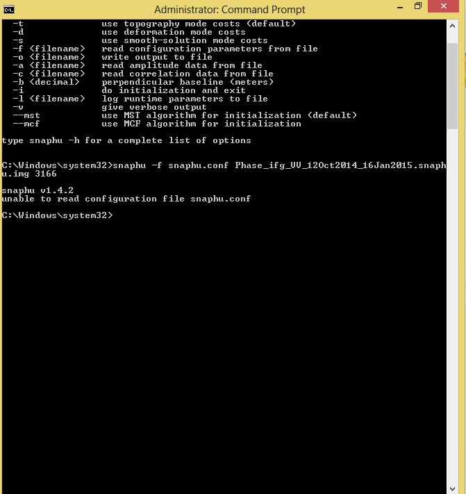
After I read some of the documents you provided it. I tried to apply the unwarpping. I used the multi-looked. I started with run the Radar > Interferometric > Unwrapping > SNAPHU > snaphu export. I copied the path into the target folder, I got this error (NodeID: SnaphuExport] null. Do you have an idea how I can pass this problem?
Yes, you are right. When I used “S1A_IW_SLC__1SDV_20150414T030925_20150414T030952_005474_006FD6_7F63_Orb_Stack_ifg_deb_dinsar_flt” the exporting is worked.
I will check why I got only Phase_XX, without coherence in the multilook file.
Thank you for your tip.
Hello guys, I need an explanation about theory of displacement result
In forming displacement map, we use Sentinel-1A with resolution 5X20m, SRTM 1arc 30m, whereas to produce the displacement map, we need displacement in scale “cm” or “mm” even. Can you guys explain this theory or is there a paper that explain this processing theory?
Thank You
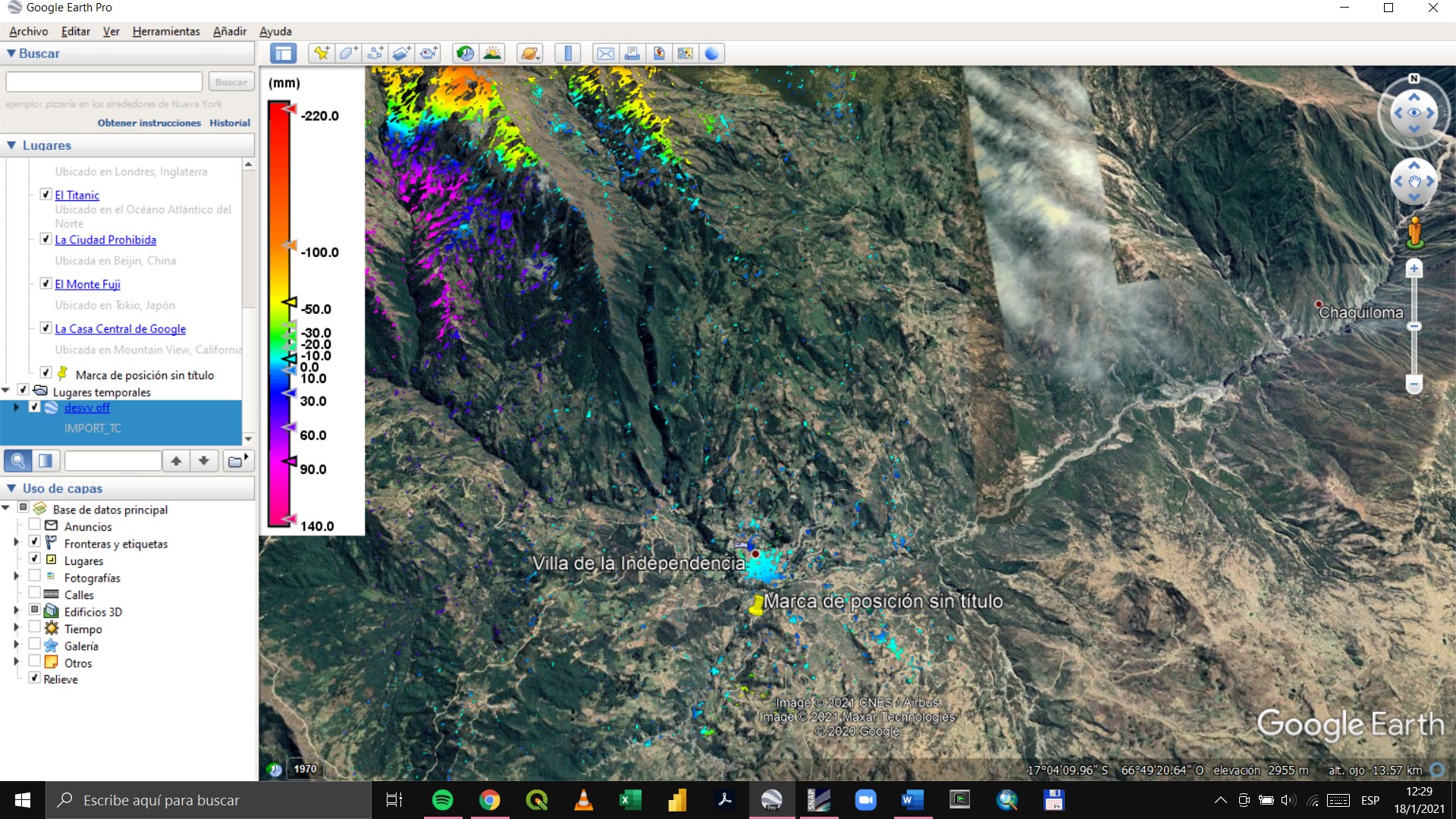
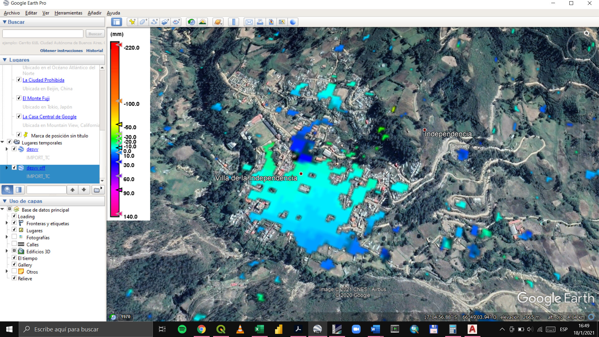
Good afternoon, I have a doubt when interpreting my results in this analysis of Independence-Bolivia. Use upward images. Correct me if I am wrong please, negative values mean sinking and positive rises. Please someone could help me, thanks in advance
I think the problem in your case is the large proportion of decorrelated areas. Any isolated patch of pixels can basically not be trusted, because the unwrapping propagated random values in the low coherence areas (noisy interferogram). So comparing the values of the northwest with the small area in the southwest is basically impossible. Also the extreme range of values indicates that some unwanted patterns were introduced.
What kind of deformation do you expect in the area?
Is that for the results that are in the capture discretize the coherence to 0.7, the area I want to analyze is the one of the capture that I attach. I expected to have subsidences in the southern part and elevations in the northern part to compare with the results I have for the area and validate the application of this method in that area. But I had a doubt about the interpretation of the results.
if this is your only area of interest, it might be good to create a subset after debursting the interferogram, so before the snaphu export. Does the interefrogram look alright in this area?
If you have a very small area, you can change the number of rows and colums to 1 in the snaphu configuration file to reduce the chance of tiling errors.