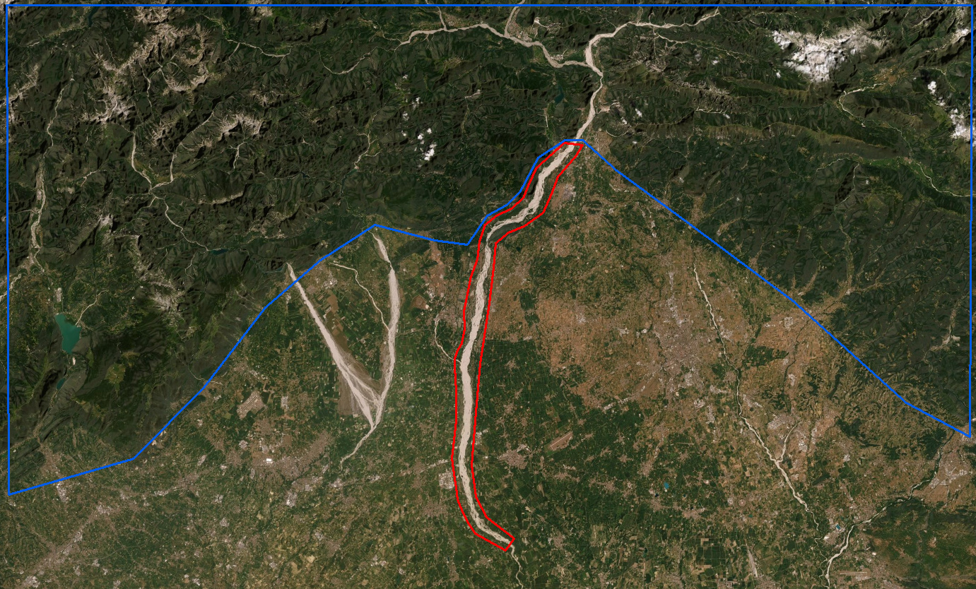
You can try to mask out all forest areas and see what remains. Is the gravel bed in the forest aa well?
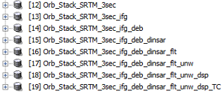
I’ll try. At wich step you suggest to mask out the forest (12, 13 … 19)?
In your opinion is better to mask the forest using the blue polygon or analyze only the riverbed inside the red polygon masking out all the rest?
As you can see it isn’t covered by forest
yes, if the coherence outside the forests is acceptable, masking the forest would be the better choice, because it leaves you more area to be unrwapped. It is unlikely that unwrapping only the riverbed will work.
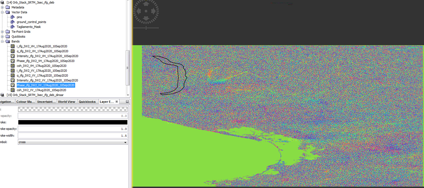
Can you please share a screenshot of your interferogram?
this is the inferogram obtained from the Inferogram Formation tool.
As you can see, there are not present fringes maybe because the land surface has not changed during the time step between the two acquisitions 17 Aug - 10 Sep.
Only the riverbed faced probably some variation due to a flood event. That is my attempt to assess the riverbed height variations trough SAR data.
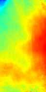
if the surface did not change between this period, the interferogram should rather look like this:
Personally, I see no potential for traditional DInSAR here, because the phase is almost entirely decorrelated. Even with masked forest areas, there is no real pattern to unrwap and your unwrapped phase looks accordingly random.
Have you tested if multi-looking increases the interferogram quality?
I have processed 72 images of Sentinel-1 in pairs (master + slave). Then I created a displacement map in SNAP software, can I analyze this process as a subsidence time series? Although SNAP software does not have the ability to do time series?
a suggestion on how to combine the deformations of several image pairs is made in this tutorial:
https://eo-college.org/resources/insar_deformation/
But note that this was created using NEST and some of the described steps (unwrapping, phase to deformation) are outdated and now easier to achieve.
A more recent example is given at the end of this tutorial: Sentinel-1 TOPS interferometry
Besides that, we hope to include pyrate support in SNAP in the near future. It especially targets the multi temporal analysis of DInSAR pairs.
this is announced but not yet made available to the users.
The G-TEP in general provides services to registered users. There are different user levels, most can just view the results generated by others, higher level users can start the services themselves.
Please have a look at the documentation: https://geohazards-tep.eu/
So how can I use this chat service and process with it?
I’m not going to read the documentation to you.
We do our best to help each other in this forum, but if things are well documented like this portal, you are more than qualified to find out yourself.
You have thankfully adviced me before to subset the area before unwrapping especially when there are huge lakes in the middle of the bursts. According to zahra0729, the displacement values change depending on the area of the image. which begs a question. Are unwrapping errors cumulative?
So, in addition to masking out low coherence values, is it preferable to subset the study area before unwrapping because the unwrapping errors may potentially multiply?
I mean, let’s assume the study area is contained in nearly 4 bursts, should it be divided into smaller sections and each of which will undergo interferogram formation and phase unwrapping, then the results are merged?
If such strategy makes sense, would there be discontinuities along the regions where the unwrapped/displacement images merge?
I don’t think so, because the merging of different sub-swaths potentially leaves unwanted marks along the edges. If a sub-swath is noisy its better to fully leave it out from the beginning.