Hi,
After getting a displacement map, I exported as TIF and then I see that the values are changed. -0.113 (min) became -0.112 and 0.046 (max) became 0.0418. Can someone please tell me how to keep these values unchanged?
Thank you. 
Sometimes SNAP only coarsely estimates the min and max values. Where did you get them in SNAP?
I got them from color manipulation, if that is what you’re asking.
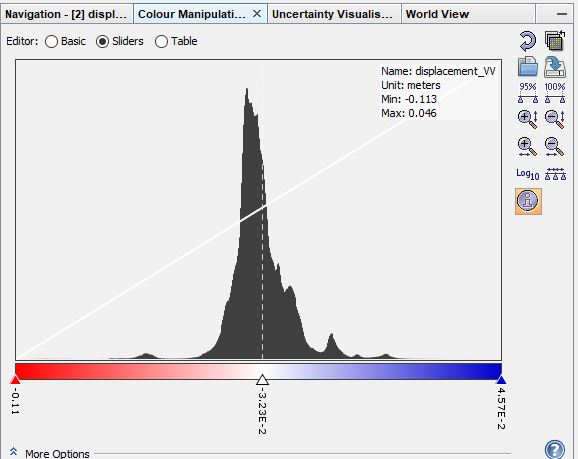
I wouldn’t trust too much a number at the third decimal pace. When your units are meters these would be 11.2 or 11.3 centimeters - nothing that DInSAR could reliably distinguish.
And, as for all extreme values, it is more important to look at the coherence at these locactions because outliers are often at locations with low coherence or phase unwrapping errors.
1 Like