Download Sentinel map-overlay at once

Hello,
In order to make a coverage map by the satellite images on my study area and during my study period, I want to know if there is a way to download all the sentinel 1 map-overlay (at once!) displayed during my chosen period. (from the website copernicus: https://scihub.copernicus.eu/dhus/#/home)

See the figure example (red rectangles).

I know that once the satellite image is downloaded, we find it map-overlay in the folder "preview".

Therefore, you should take these files individually and it takes a lot of time to do it! that’s why I ask if there is a way to download all these map-overlay at once on the site copernicus or on other sites!

Thanks in advance

1 Like

It is possible to choose your data and add them to your basket, once all your data are selected, copy the metadata and paste it in the folder your want to download your data in, then use the aria2c script to download all in once, more details within the following link,

For more details take a look at this tutorial,

3 Likes

Thank you falahfakhri for your response

But for me I want to download just the red rectangles (at once) and not the satellite images.
Is there any idea how to do it?

Thanks again

Downloading only the slice, I didn’t do it before, but I think it is possible to identify the footprint of each polygon in your ArcGIS, QGIS, it is possible to get this information from open access hub,

image

image

yes with that we just display a single rectangle but I want to display all the retangles of my area at once

Yes, in this case you should to pick up the footprint polygon of each single slice, then create one shf in QGIS, including all of them, it is possible then to view all at once, hope this helps,

I think he means if there is a way of batch downloading only the footprints of a list of products :slight_smile:

Yes, might be, but how to do so?

that’s the question :slight_smile:

I think as I mentioned in above post, Myself I don’t know other way.

Hi @tazrart

I found solution to your issue, it is very easy to download only the slice at once, and then import them in QGIS, or whatever, by searching your data in

https://vertex.daac.asf.alaska.edu/

First you have to register and fill out the application, later on when you get registered, it is easy to search for you data, when your search is completed as below,

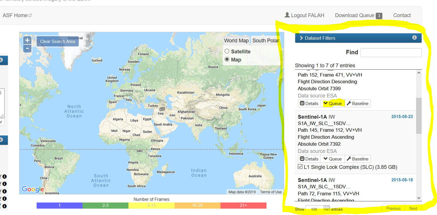
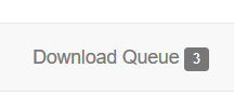
Add your search to the queue and then hit the download queue tab

image

the following panel well appear,

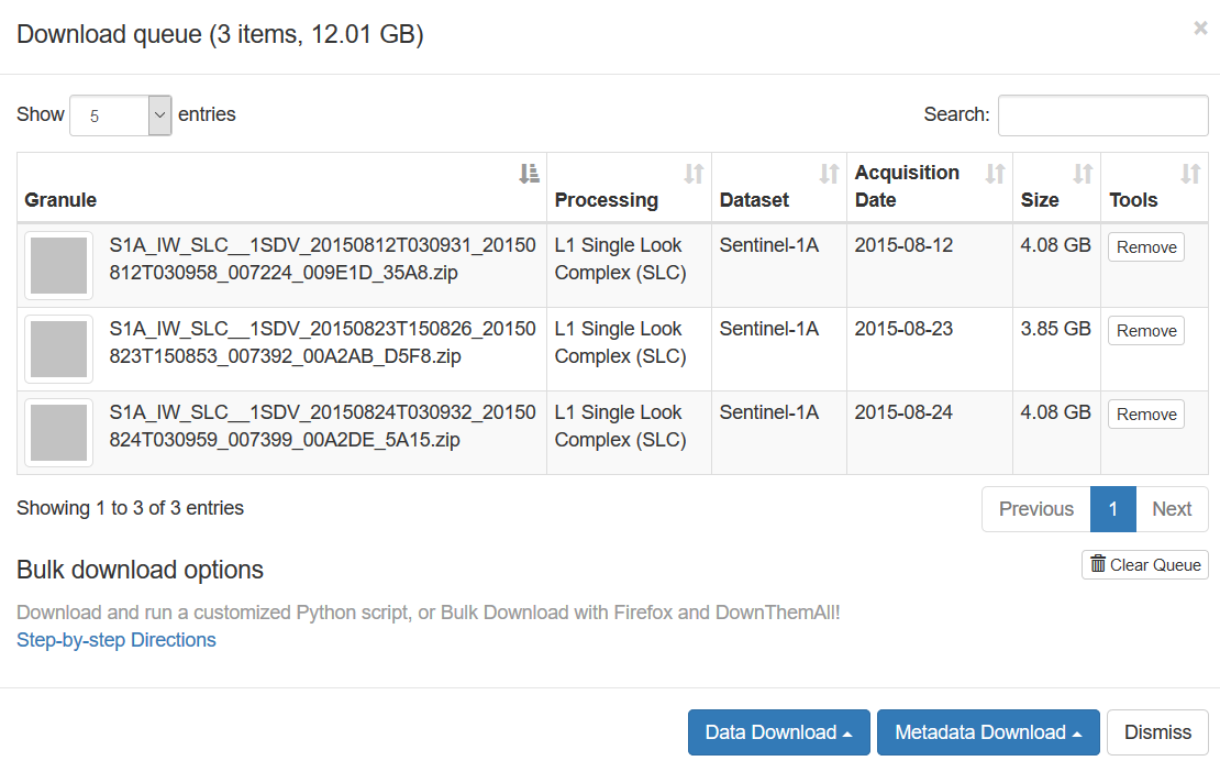
hit the metadata download and then google kml tab,

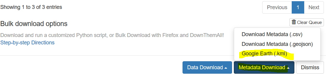
the google earth should be installed in your os, it will be launched by hitting google earth (.kml)
showing all selected slices,

image

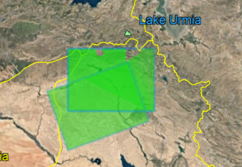
in this example I selected only two slices,

2 Likes

Thank you very much Falah Fakhri for this solution. It’s very usful.

I think in this interface, the sentinel 2 or 3 data are not included !!

It’s possible to do so for all included data,