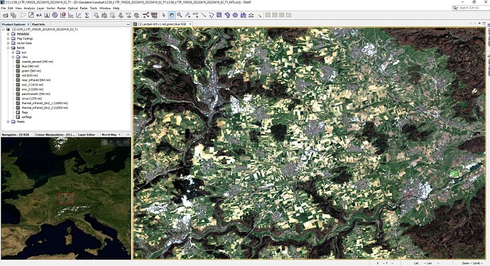
I am a University student from Uganda. I am getting troubled on what to download from the Landsat Collection 2 Level-1 Product Bundle instructions as shown below:
Download Options
Product Options for Landsat Collection 2 Level-1 Product Bundle
Download Full-Resolution Browse (Natural Color) GeoTIFF (14.00 MiB)
Download Full-Resolution Browse (Thermal) GeoTIFF (14.00 MiB)
Download Full-Resolution Browse (Quality) GeoTIFF (14.00 MiB)
Download Full-Resolution Browse (Natural Color) JPEG (6.00 MiB)
Download Full-Resolution Browse (Thermal) JPEG (6.00 MiB)
Download Full-Resolution Browse (Quality) JPEG (6.00 MiB)
*roduct Download Options for Landsat Collection 2 Level-1 Product Bundle
1.11 GiB Landsat Collection 2 Level-1 Product Bundle
The following items are available for individual download
Landsat Collection 2 Level-1 Band File
80.07 MiB
LC09_L1TP_172058_20220402_20220403_02_T1_B10.TIF
Landsat Collection 2 Level-1 Band File
77.45 MiB
LC09_L1TP_172058_20220402_20220403_02_T1_B11.TIF
Landsat Collection 2 Level-1 Band File
76.13 MiB
LC09_L1TP_172058_20220402_20220403_02_T1_B1.TIF
Landsat Collection 2 Level-1 Band File
77.85 MiB
LC09_L1TP_172058_20220402_20220403_02_T1_B2.TIF
Landsat Collection 2 Level-1 Band File
80.18 MiB
LC09_L1TP_172058_20220402_20220403_02_T1_B3.TIF
Landsat Collection 2 Level-1 Band File
84.83 MiB
LC09_L1TP_172058_20220402_20220403_02_T1_B4.TIF
Landsat Collection 2 Level-1 Band File
90.68 MiB
LC09_L1TP_172058_20220402_20220403_02_T1_B5.TIF
Landsat Collection 2 Level-1 Band File
91.80 MiB
LC09_L1TP_172058_20220402_20220403_02_T1_B6.TIF
Landsat Collection 2 Level-1 Band File
91.97 MiB
LC09_L1TP_172058_20220402_20220403_02_T1_B7.TIF
Landsat Collection 2 Level-1 Band File
326.97 MiB
LC09_L1TP_172058_20220402_20220403_02_T1_B8.TIF
Landsat Collection 2 Level-1 Band File
45.31 MiB
LC09_L1TP_172058_20220402_20220403_02_T1_B9.TIF
Landsat Collection 2 Level-1 Band File
11.92 KiB
LC09_L1TP_172058_20220402_20220403_02_T1_MTL.txt
Landsat Collection 2 Level-1 Band File
17.39 KiB
LC09_L1TP_172058_20220402_20220403_02_T1_MTL.xml
Landsat Collection 2 Level-1 Band File
925.14 KiB
LC09_L1TP_172058_20220402_20220403_02_T1_QA_PIXEL.TIF
Landsat Collection 2 Level-1 Band File
218.83 KiB
LC09_L1TP_172058_20220402_20220403_02_T1_QA_RADSAT.TIF
Landsat Collection 2 Level-1 Band File
1.18 MiB
LC09_L1TP_172058_20220402_20220403_02_T1_SAA.TIF
Landsat Collection 2 Level-1 Band File
970.76 KiB
LC09_L1TP_172058_20220402_20220403_02_T1_SZA.TIF
Landsat Collection 2 Level-1 Band File
8.89 MiB
LC09_L1TP_172058_20220402_20220403_02_T1_VAA.TIF
Landsat Collection 2 Level-1 Band File
3.12 MiB
LC09_L1TP_172058_20220402_20220403_02_T1_VZA.TIF
Landsat Collection 2 Level-1 Band File
Thanks in advance
Emmanuel. K.
