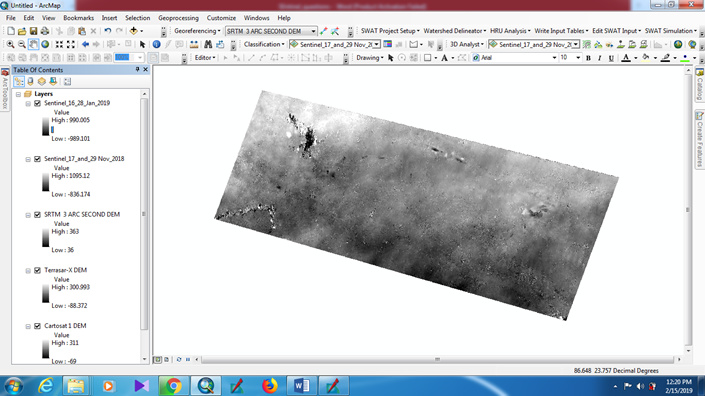
Hello everyone, I have generated two DSM from two Sentinel-1 SAR SLC pairs (17th and 29th November, 2018 and 16th and 28th January, 2019) .However the elevation range that I am getting from both this DSMs is entirely different from the elevation range obtained from SRTM DEM, Cartosat-1 DEM and Terrasar-X DEM (90 Meter). I know that there must be difference in elevation values between a DSM and DEM. However as the difference is very large therefore it is questioning the reliability of the DSMs. I have attached the picture of these DEMs along with the two DSM that I have created from Sentinel-1 data. I have also attached the methodology for DSM generation using the SNAP software.
Can somebody help me to interpret these results. Furthermore, how can I improve the accuracy of DSMs that I have generated from Sentinel-1 SAR data.
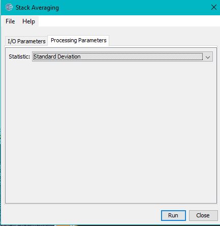
Steps for DSM Generation using Sentinel-1 SLC pairs
Co-registering the pairs using Back Geocoding method and with the help of SRTM 3 ARC Second DEM.
Good evening everyone, I have two questions.
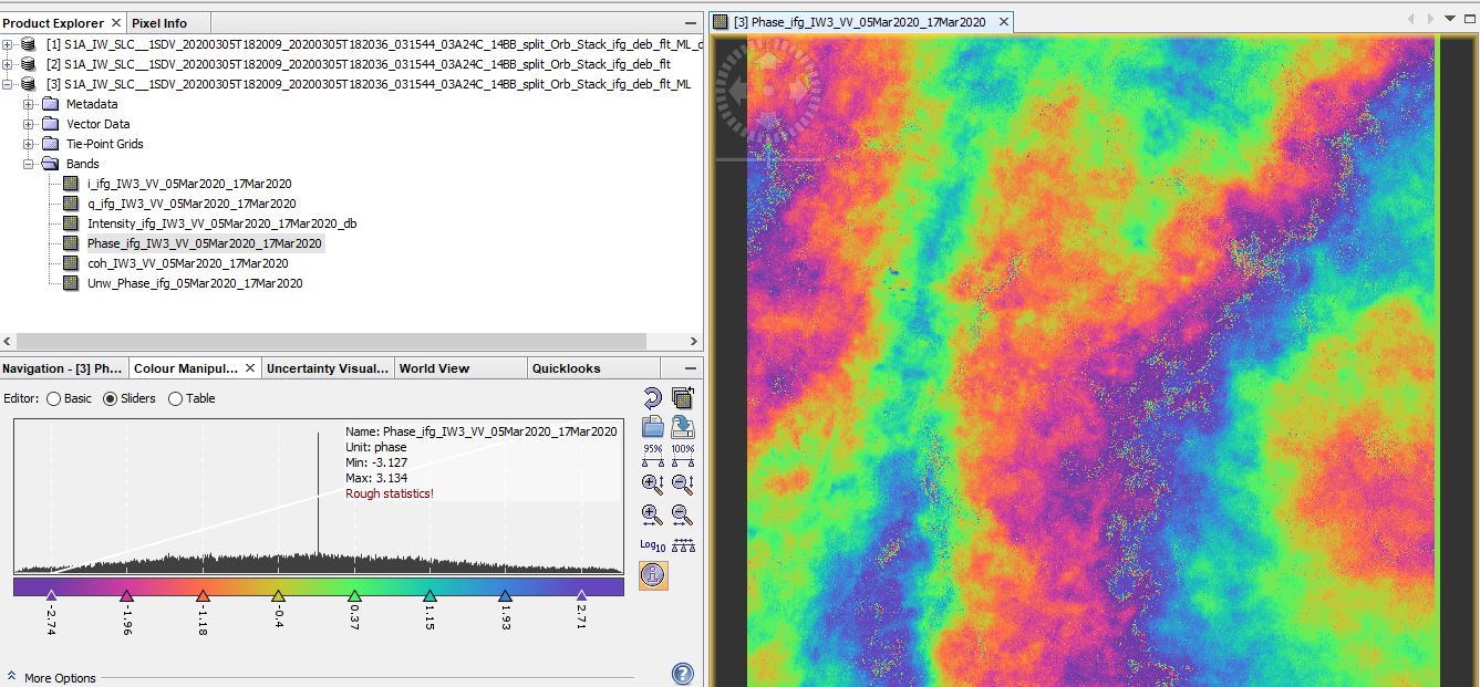
1-I have finished a processed . With your expertise I would like to know if the treatment is good.
2- I would like to know with this data is it possible to generate a DSM? and how?
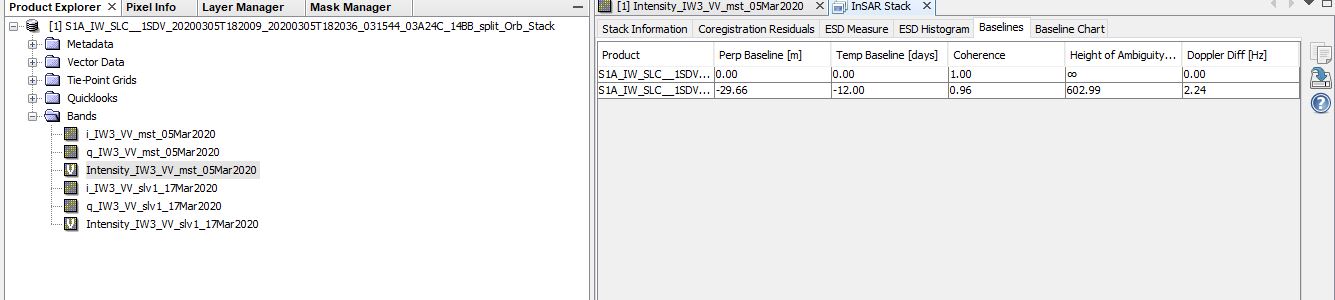
doesn’t look too bad - but for a proper topography we need a bit more fringes. What is the perpendicular baseline of the image pair? You can check via the InSAR stack tool.
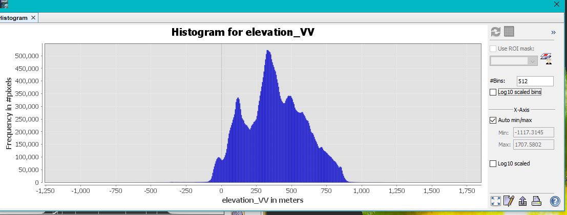
Also, selecting elevation as an additional output after terrain correction (at best with SRTM 1Sec), helps you comparing the elevations from Sentinel-1 (named elevation_VV) with the SRTM ones (named elevation), for example by calculating a difference band.
no, both are more or less surface models (slightly different penetration depths because of different wavelengths). But as SRTM was bistatic (two antennas at a time) its quality is superior to Sentinel-1 repeat pass approaches.
the perpendicular baseline is only 30m. For good topographic mapping you need an image pair of at least 100m. This will give you more fringes to describe the topography.
Iam experiencing closely similar problem too whereby my DSM have off values, would appreciate any support on this ( I am using Sentinel-1 InSAR data to generate a DSM and derive a Canopy Height Model (CHM) which forms part of my thesis objectives
I acquired two pairs of Sentinel-1 SLC IW VV images (ascending orbit, June 2024) from the Copernicus Data Space Ecosystem and processed them in SNAP, applying necessary corrections to ensure accurate DSM and DEM generation. However, I noticed that my DSM values range between 1500m and 2739m, whereas I expected them to be within 0-2550m or 0-2570m.
Could you advise on possible corrections to refine the DSM and how to accurately extract a DSM layer that starts from zero meters? Additionally, which bare Earth elevation dataset would be best suited for subtracting from my DSM to obtain a reliable CHM?)