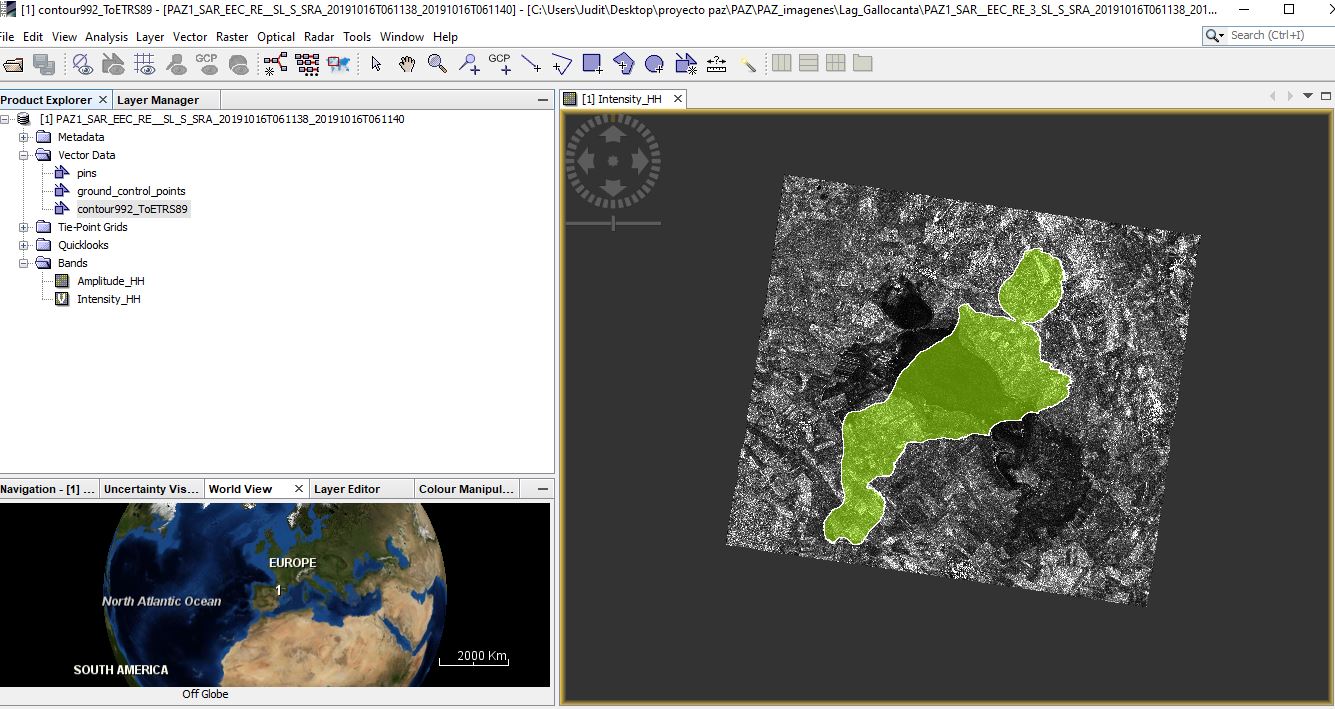
I’m working with EEC images from the PAZ sensor. I’m trying to apply any geometric and SNAP error correction. Theoretically the product already has the correction applied, it is not true. I have checked this with overlapping vectors/layers with projection and they don’t fit. This is a new product, I don’t know if anyone can help
me. (the vector even loses its own projection)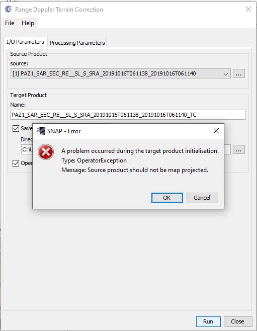
you cannot apply Terrain Correction to an Ellipsoid Corrected product in SNAP.
Do you have the chance to get the MGD or even SSC product?
I didn’t know it couldn’t be applied. Do you have an explanation? How did you solve the problem?
I’m working with 5 MGD (no problem) and 2 EEC that are from different dates, I can’t get the other types of images from these last ones
Range Doppler Terrain Correction needs unprojected data and moves pixels at the correct location.
For EEC data this is already done, but based on a DEM selected by the processing facility. You cannot apply another DEM.
Please check here: GTC (Geocoded terrain corrected) data
Thanks for the explanation. Would there be any process/solution to fit my EEC vector and image?
If the DEM used for the EEC production was if low quality geolocation of pixels can be bad. This is why most SAR users prefer SSC data to keep control of the preprocessing.
No chance to get the SSC products?
The only work around would be some sort of mamual rubber sheeting, but this is not implemented in SNAP.