Hi,
Why, oh why!!!
I’m banging my head against the wall with this one.
I have an image that has undergone a certain process (Land/Sea Mask, Callibraition, Oil Spill Detection, Oil Spill Clustering).
I need now to correct the ellipsoid so I can display the results on the correct geometry with other images.
When I apply Ellipsoid Correction - Geolocation Grid the image just gets subseted. I cannot figure out the reason. This must be something silly I faild to see.
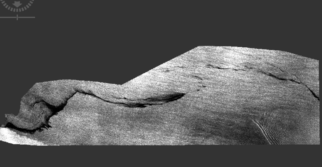
This is the original image:
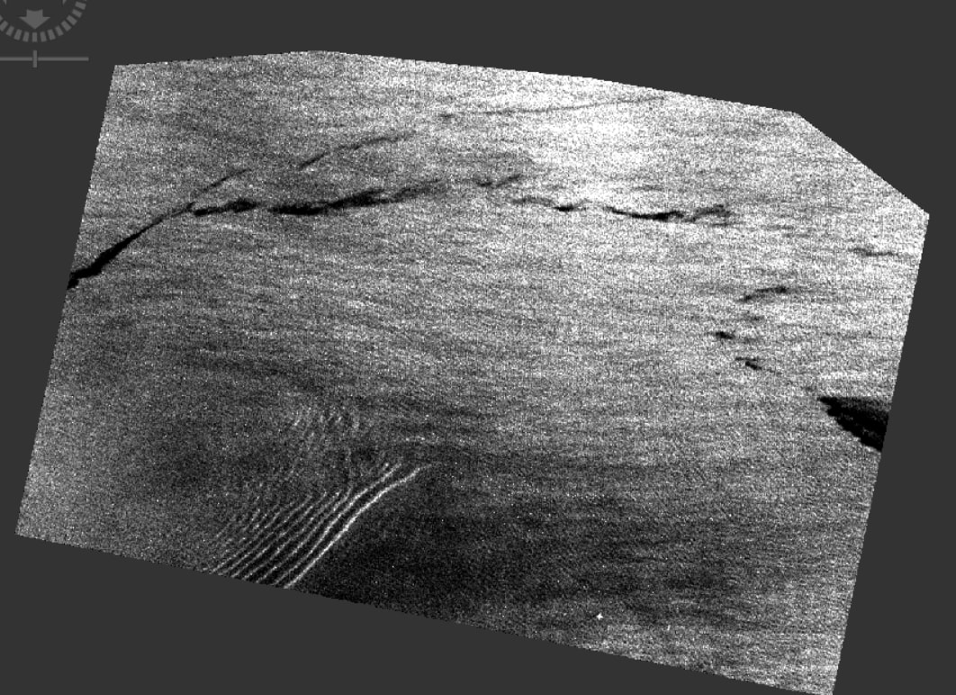
And this is what I get:
I’d appreciate ideas.