Equal Radiometric Calibration of subsets

Hi there,

Is there a way in which I can do Radiometric Calibration on subsets of an image so that they all have the same min/max values?

As you can see here some are considerably different in contrast to others but when done as a whole image they are somewhat uniform.

Many thanks!

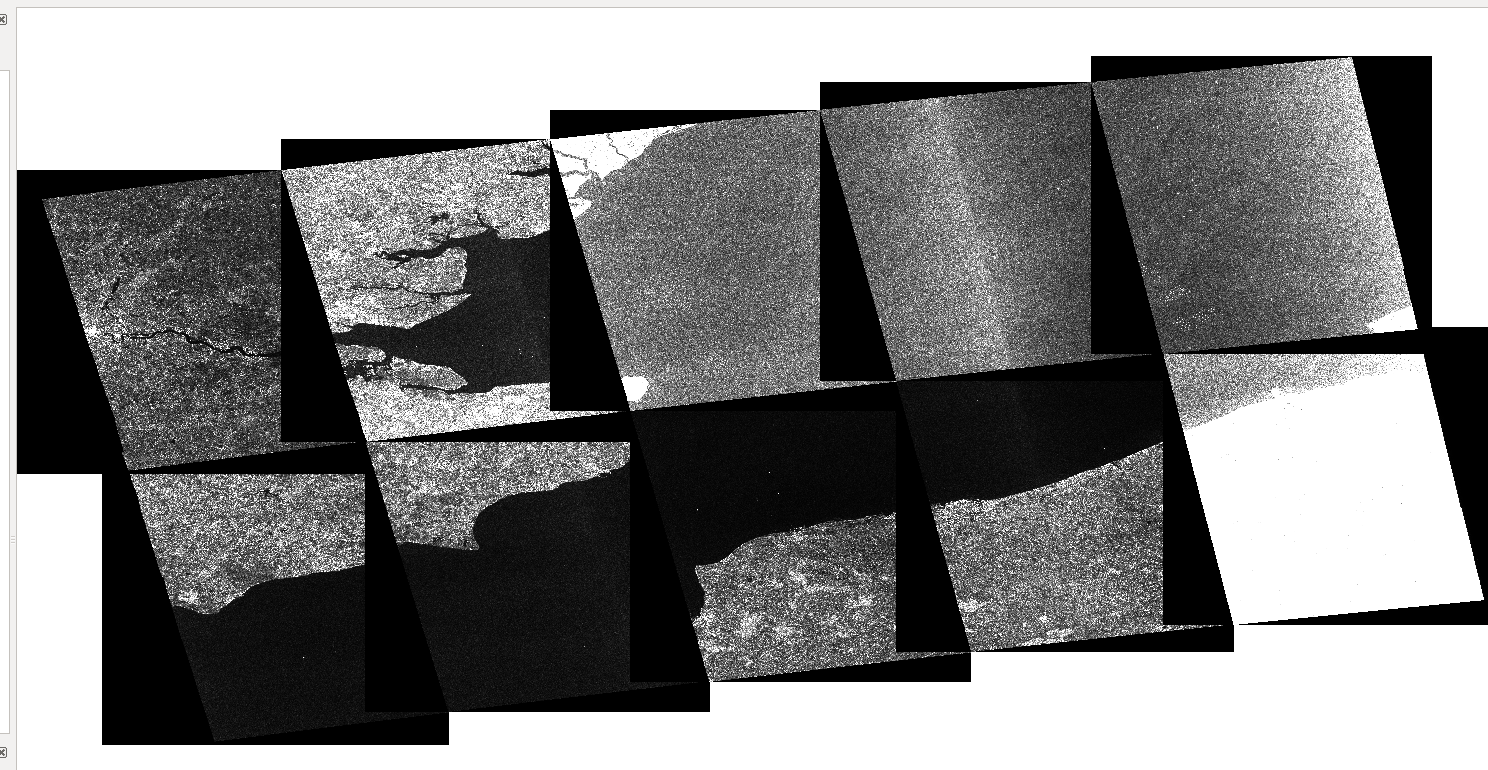
If anyone also has a way for QGIS to not display the black areas around the ‘real’ image when added as a raster layer I’d also be very grateful for help with that!

1 Like

you can define a transparent value in the layer properties.

I’ve tried this approach but unfortunately being greyscale I then lose a lot of the image if I make black transparent.

it ist strange that your image consists of that much zeroes within the land area. How did you preprocess the data?

My steps are:

  1. Subset image into equal sizes
  2. Radiometric calibration, outputting the sigma0 band, using Intensity_VH
  3. Terrain Correction with Bilinear Interpolation, dem=SRTM 3Sec and the sigma0_VH band as the source

“Calibration” refers to trying to retrieve the correct backscatter coefficients so it’s not appropriate terminology in this case…

But if I calibrate the image as one big one, it’s severely different from doing them separately when subset, I think the only real option is to calibrate it as one and then subset, rather than the reverse.

It shouldn’t matter for calibration if it’s done before or after subset. I think what you need to do is make sure your visualisation is equvilant for all images. Go to the colour manipulation and assign the same min max to all images.

1 Like

Ah that’s brilliant! Didn’t realise it was something as simple as that!

For anyone else seeing this issue, in QGIS I simply went onto the properties of each raster and set the min and max’s to the same value!

This can be marked as answered (I don’t know how to do that myself)

Many thanks @Iveci