Hello,
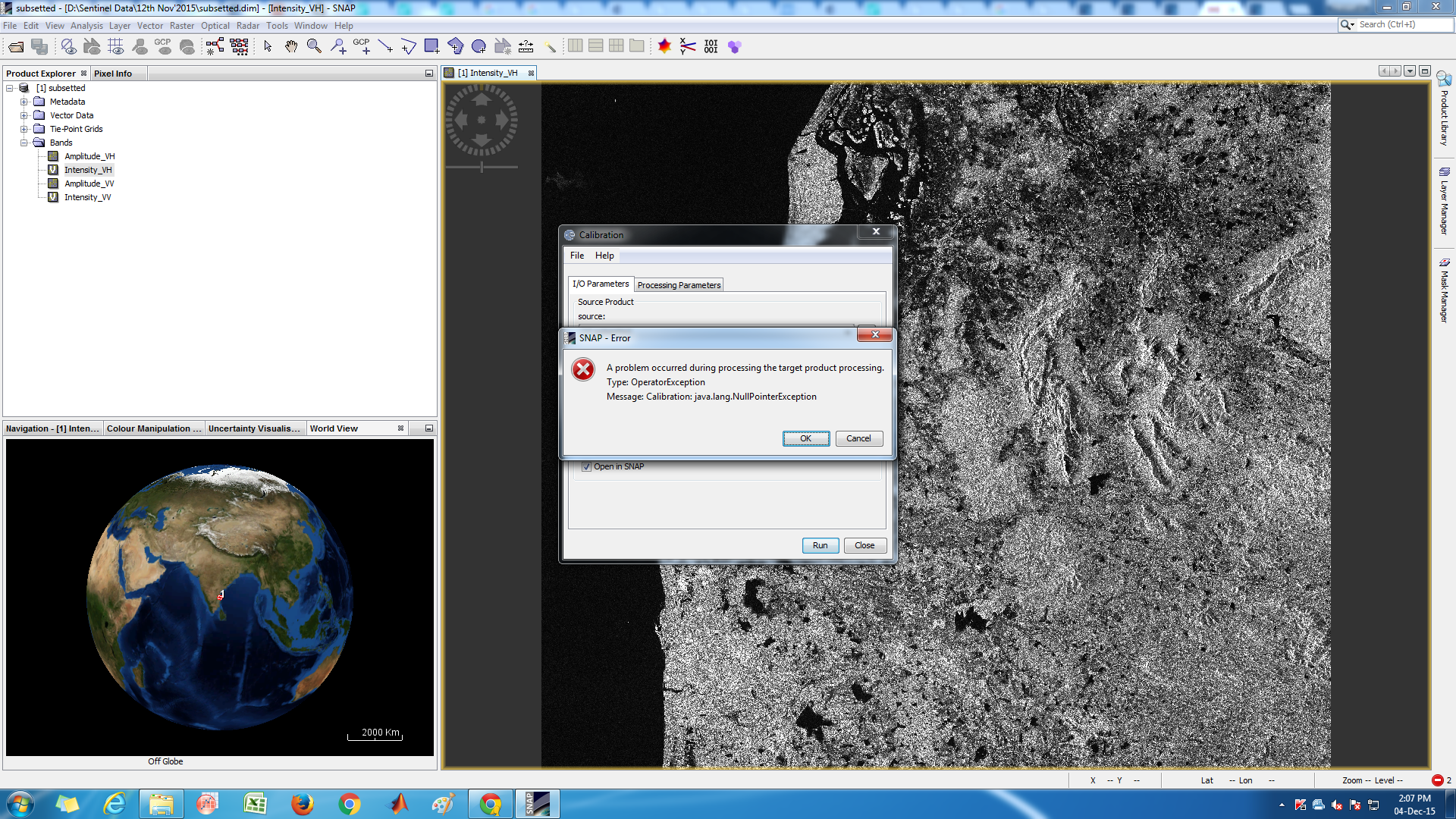
I am trying to calibrate a sentinel data and I am getting an error everytime. It says, A problem occurred during processing the target product processing. Type: OperatorException. Message: Calibration: java.lang.NullPointException
I see you are using subsetted/cropped product. try using the original download (.SAFE). For the calibration the SNAP toolbox uses the annotation (LUTs) which follows a certain pixel pattern.
So calibrate first for the most accurate results, subset (do anything else) afterwards.
I am using version 2.0 I tried using the entire image without renaming it. Still I am facing the same problem. Is there anything that I am not following properly? kindly help
I am using version 2.0 I tried using the entire image without renaming it. Still I am facing the same problem. Is there anything that I am not following properly? pls help
Well one more thing comes to mind, check if have downloaded the complete product. Recently the sci.hub was undergoing major maintenance (regarding launch of S2 data, new interface, apihub,…), so there might have been a connection error while downloading.
Check for the size of the download should be slightly above 1GB at GRDH, if it is not the case re-downlaod your product.
Otherwise try a different time series. And next time provide us more accurate log of how are you processing the products step by step.
Dear all,
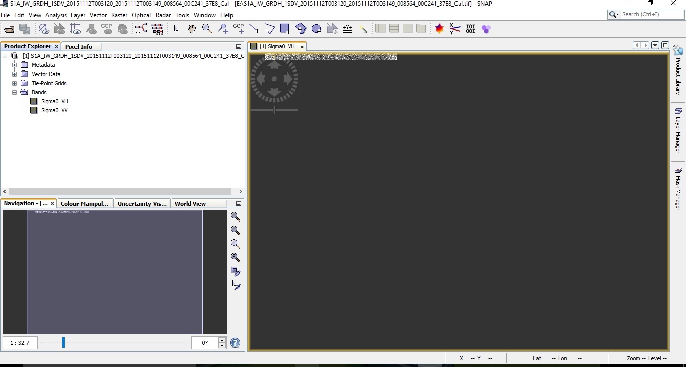
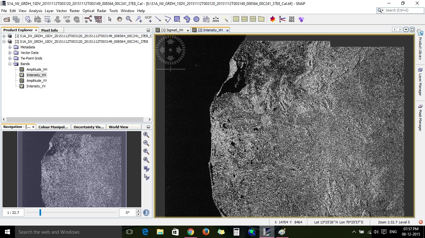
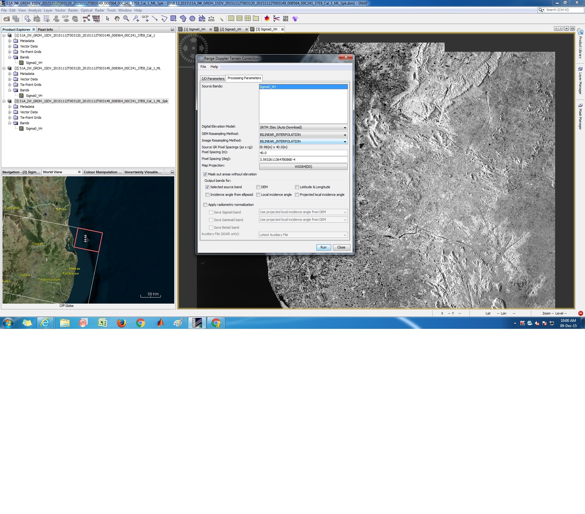
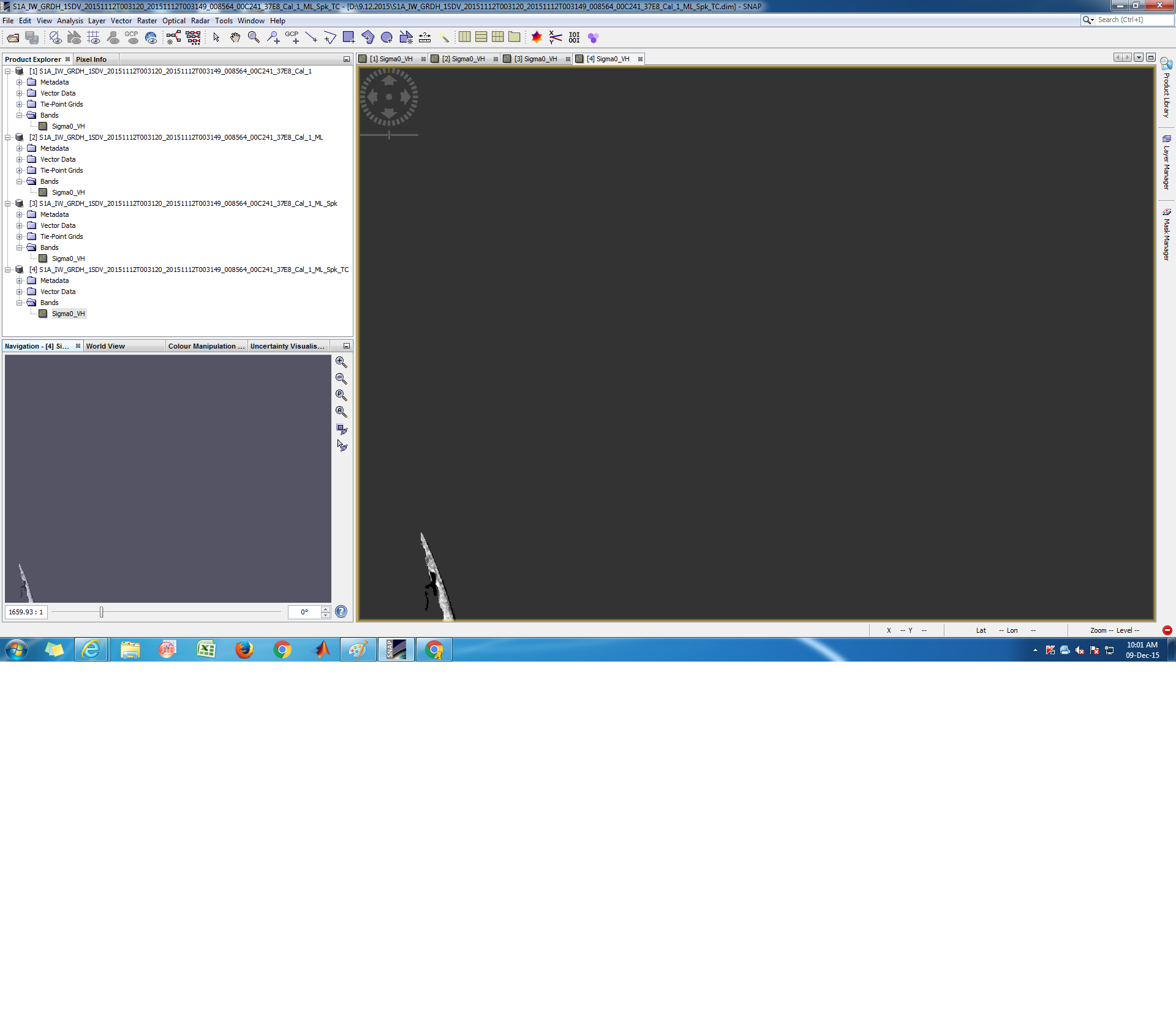
Today I again tried downloading sentinel 1 Data product. As an initial step, I tried to calibrate the product without subsetting. This time, I didn’t get error which I was getting earlier as I had posted in my previous posts. This time I got the output, kind of partially. I tried to save the output this time as .tif file format.
I’m sending the screenshots of the steps I performed. The entire product size is 1.82 GB.
Kindly let me know, during speckle filtering, I have the entire scene but after terrain correction, the image I’m getting is only a very small portion of it. Kindly explain.
That is what it could mean. It’s also possible to download the DEM manually into a folder but I don’t have the details on what the required steps are. Have you consulted the help?
I doesn’t look like the problem is with the DEM. From the images you provided, TC seems correct for the region shown on the map. The question is why is product [2] so small after multilooking? What has happened between [1] and [2]?