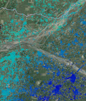
How do I convert the StaMPS result (ps_plot) into a tiff or other coordinate file? I want to use it for subsequent GIS analysis. Please give pointers.
(Output to kml has been successful)
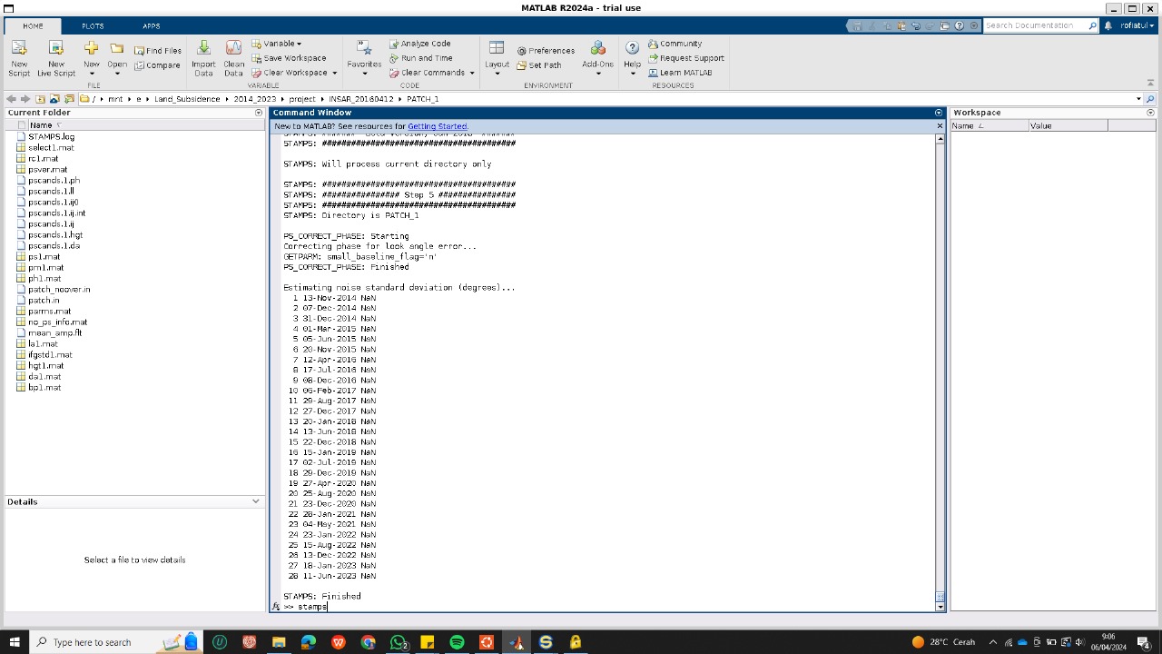
The NaNs related issue should be solved if you download from github the latest version (not the latest official released, but the developers version).
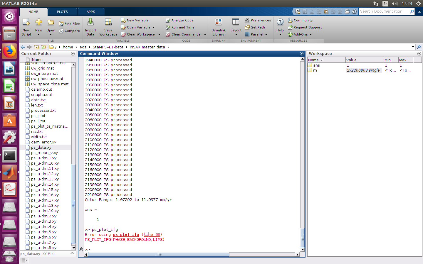
Regarding StaMPS results, if you plan to go to a GIS system it should be immediate or simpler to export in csv file and then import in the GIS and from there, if desired do the conversion to tiff… That is what I do when I want to work with the results into GIS.
Thank you very much for your advice.
I found the code that you said about solving NAN on github, I will try again.
Currently I am exporting the StaMPS results to acsii and I will try to use GIS again.
thank you~
JAMIE