Hi
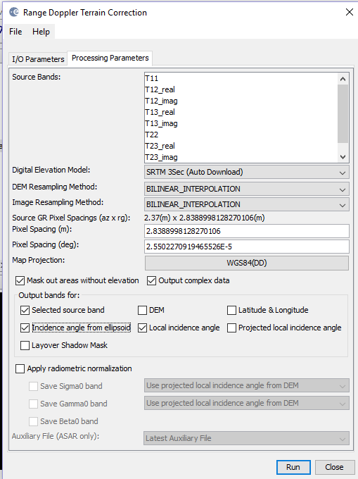
I wanted to preprocess RISAT 1A fully polarimetric dataset (SLC ) for performing polarimetric decompositon. I’ve followed the steps as given: Radiometric calibration(complex output)>>subset>>coherency matrix generation(T3)>> Speckle filtering>> Geometric correction(Range Doppler Terrain Correction). Till speckle filtering I got correct outputs. But the outputs of terrain correction is coming blank. When I converted it to .tif it showed a black image. I’m using SNAP Version 8.
Any help would be appreciated. Thank you in advance
I also have a similar problem with the “Band Maths”. Basically, I’ve identified a “pin” pixel according to its location. I have the value of this pixel, and in the band math tool I’ve used the condition "if sigma0 == pin then 1 else 0"basic, yes I admit it. The result was a totally black map for all pixels. My pin pixel has the value 1, but it’s also black (how do I get it to be white?).
Did you choose the band correctly? It might be multiband output which cannot be rendered correctly anyway