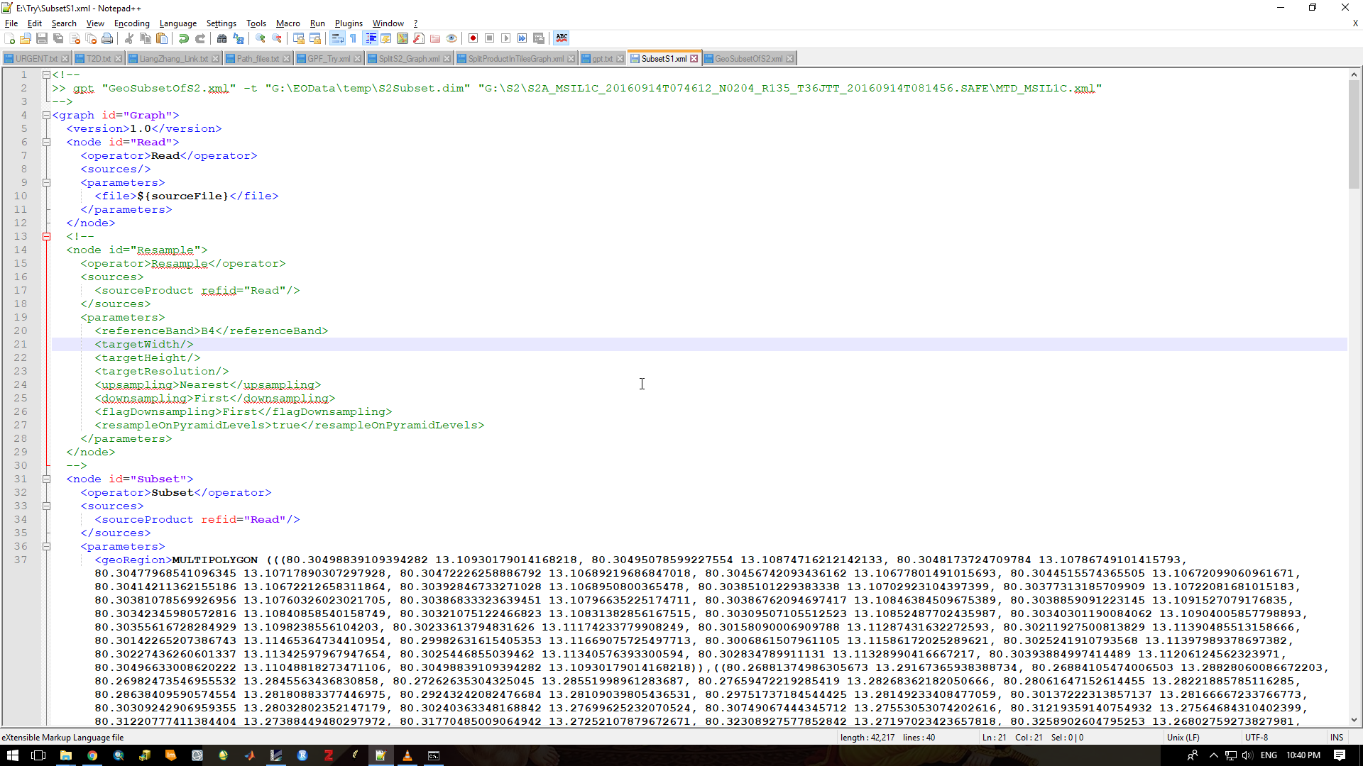
I have edited the xml provided by marpet for subsetting the S1 image and my question is
- Is MULTIPOLYGON is acceptable as a georegion in GPF?
when i tried to excute this xml the following is thrown.
gpt E:\Try\SubsetS1.xml -t E:\Try\S1A_IW_SLC__1SDV_20150727T003129_20150727T003158_006989_0097BF_B5BA_Subset.dim E:\Try\S1A_IW_SLC__1SDV_20150727T003129_20150727T003158_006989_0097BF_B5BA.dim
INFO: org.esa.snap.python.gpf.PyOperatorSpi: Python operator ‘S2RutOp’ registered (Python module: ‘s2_rut’, class: ‘S2RutOp’, root: ‘C:\Users\SAIPLANNER\AppData\Roaming\SNAP\modules\org-esa-snap-snap-rut.jar’)
INFO: org.esa.snap.core.gpf.operators.tooladapter.ToolAdapterIO: Initializing external tool adapters
Executing processing graph
INFO: org.hsqldb.persist.Logger: dataFileCache open start
done.
Error: [NodeId: Read] Specified ‘file’ [${sourceFile}] does not exist.
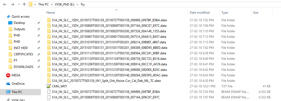
My source file is located in
The edited xml file is shown here: