If I execute the stacking in Windows, no issues. But the problem is persistent in Linux.
Anyway, the snap2stamps software is very helpful.
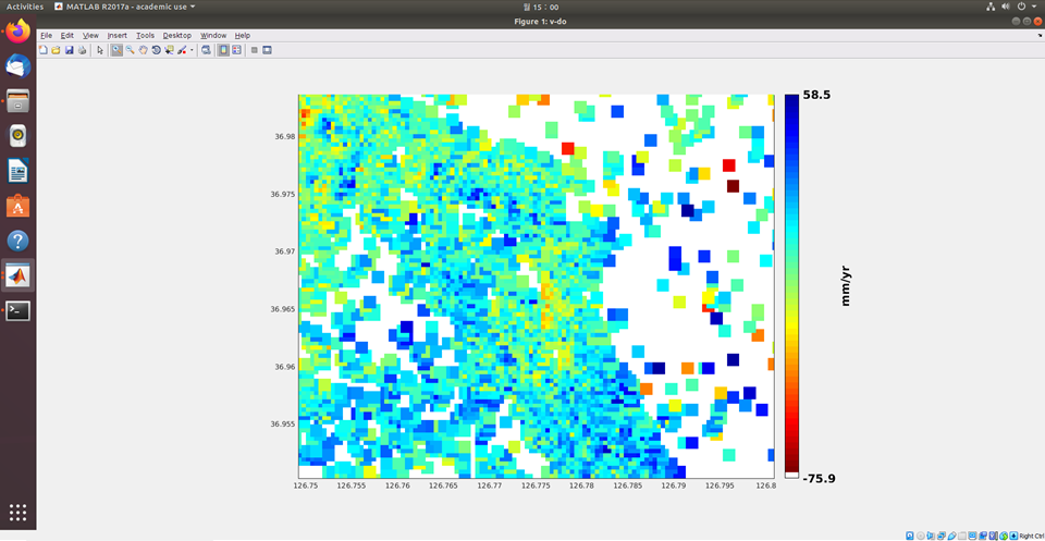
I was able to complete a PSI analysis using StaMPS/MTI for my pilot test using very few SAR data. Below is the displacement velocity map for this pilot test.
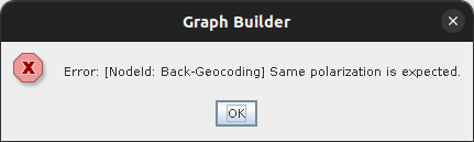
BackGeocoding allows to coregister SLC products at sub-pixel accuracy, e.g. for interfefrometric analyses. These work only on images acquired from the same track (explained here).
If you want to use information of products of different tracks, you have to geocode them first (Range Doppler Terrain Correction). If you don’t need the phase information, GRD products are sufficient.
thank you for response! I’m starting to study the treatment of SAR images. I am interested in the InSAR and Din-SAR techniques. Your link help me a lot!
But if the two set don’t cover the same area and I crop both to make it, eg using “Spatial Subset” I have the same result?
You can use SLC products which are shifted along-track and select the corresponding bursts in the TOPS Split operator.
But you cannot combine products of different tracks for InSAR or DInSAR.
hello sir, I want to ask something, I got the result for my deformation, but the PS POINT did not lies on the coordinate for my monitored stations using GNSS as validation, is there a possible chance for me to improve my processing inside stamps?
Hello. Quick clarification, does that mean it is not possible to do across-track interferometry in snap using two images? My AOI is located in IW2 of my first tile and in IW1 of my second tile. Are you saying I could use the range doppler terrain correction first and then do the back-geocoding?