I’ve been trying to set a reference area in stamps to obtain the absolute rate of subsidence relative to that area compared to the mean velocity of the entire study area.
When I set the reference point, I get this error:
I’ve tried increasing the radius all the way up to 10,000, yet nothing seems to work. it keeps saying 0 ref PS selected.
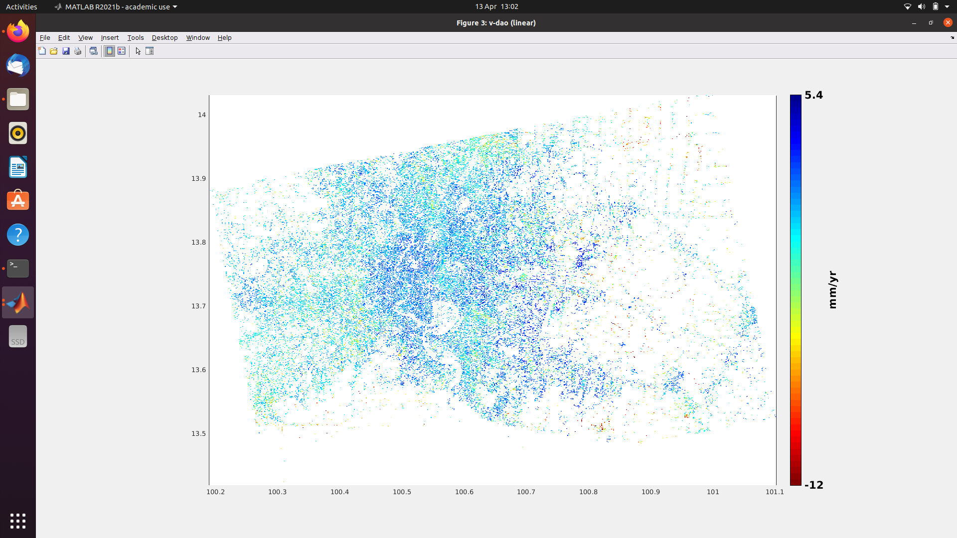
Here is what my output looks like if anyone is interested.
Did I mess up anywhere along the line?
Thanks in advance.
thho
April 15, 2022, 10:49am
2
Hi @Tristopher1 ,
you set the parameter like this:
setparm('ref_centre_lonlat', [13.7 100.73])
is it possible that you exchanged lon and lat? lat can not be >90. Thus no point is selected because the coord is out of bounds Try:
setparm('ref_centre_lonlat', [100.73, 13.7])
1 Like
Hello Thho,
I am embarrassed to call myself a geography student! I cannot believe I got the lat and lon mixed up!
Thank you so much helping me realise my blunder.
thho
April 15, 2022, 10:57am
4