Thanks, @ABraun. I tried this previously:
And even after subsetting before the coregistration, didn’t solve the problem.
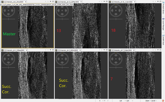
These are the subsetted (orbit applied) Intensities (before coregistration):
7, 13 and 18 remain offset even after subsetting defining WKT.
So should I assume they are badly georeferenced?
Out of curiosity, how is it possible that the footprint is displayed correctly? Does it use a different set of coordinates?
Also, are there any other approaches that might solve the issue, or there is nothing to do at all?
Thanks a lot!
