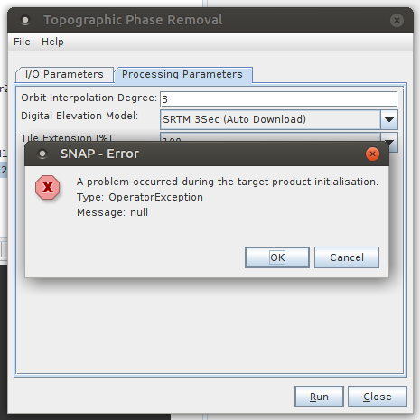
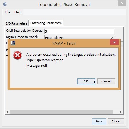
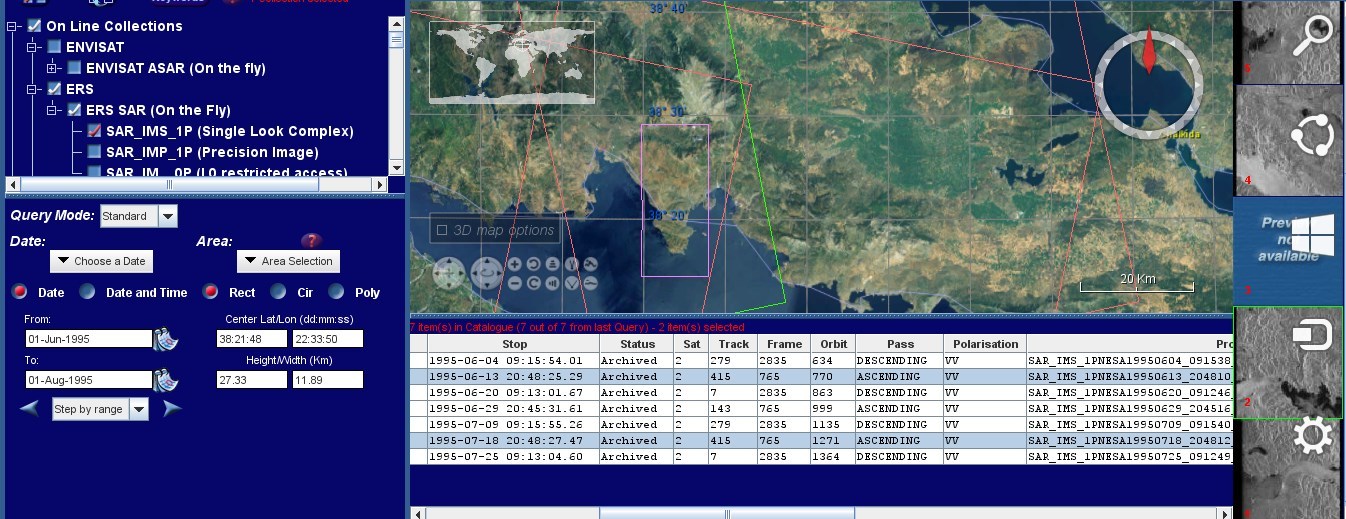
in Topographic phase removal, when I process two ERS2, SLC images ( SAR_IMS_1PNESA19950613_204808_00000018A001_00415_00770_0000.E2 and SAR_IMS_1PNESA19950718_204810_00000018A002_00415_01271_0000.E2), in order
to produce an interferogram. I have installed SNAP 5.0. Before Topographic phase
removal, I followed these steps:
1.Apply orbit file
2.Coregistration
3. Interferogram Formation
Is there any solution to this problem?
Thank you in advance!
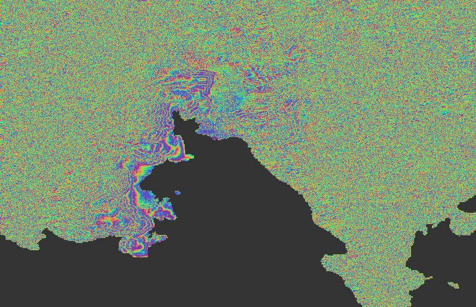
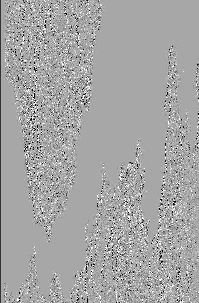
Also not good. I perform DEM Assisted coregistration with Xcorr and
I tried different combinations in coherence window sizes(range/azimuth, 1/5, 2/10,5/5,10/10),
during the interferogram formation. At this example I used the combination
range 2, azimuth 10.
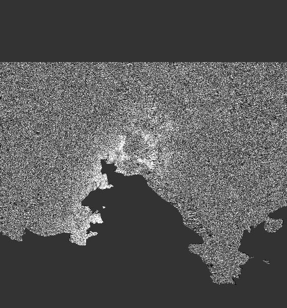
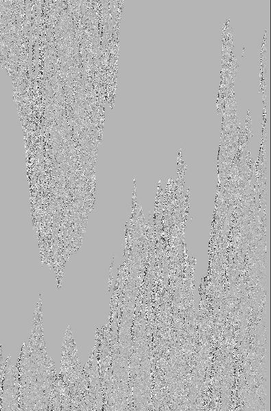
Values of low coherence are caused by decorrelation. I guess these areas are covered by vegetation. So even the temporal baseline of 35 days is already too long for good interferometric patterns.
But this doesn’t answer your Phase removal problem.
are i and q parts of your images still in the InSAR stack?
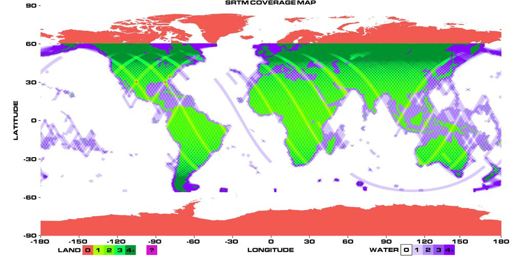
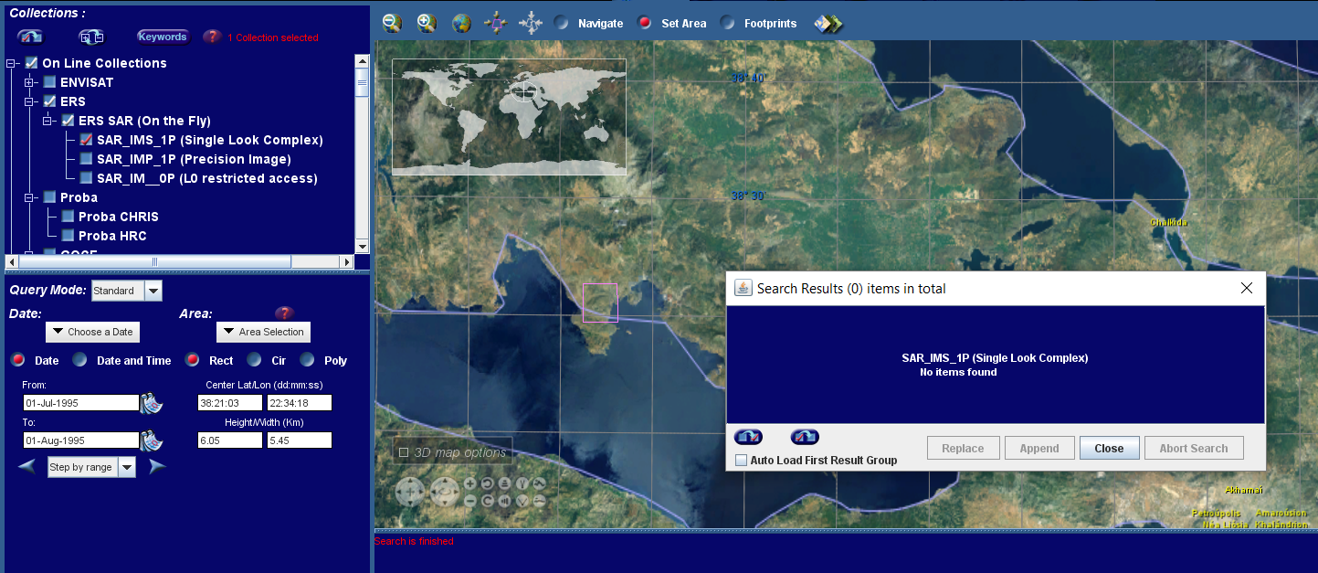
I used an external DEM from the link you provided, but still
I have the same error. This happens only with ERS data. I didn’t
have the same problem in the processing of Envisat or Sentinel data .
I have tried the same processing steps with the same dataset on
different computers with different OS(Ubuntu, Windows,MAC), with
the same error. I attached the full error message. Is there maybe a
different approach for producing interferogram using ERS data in SNAP?
thanks for comparing. I first received an error message which realated to the ERS issue. Later i just received empty results. But now I see the products again and will try to reproduce your error.