I have two Separate Questions.
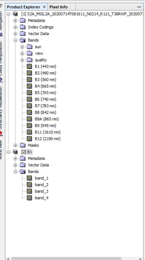
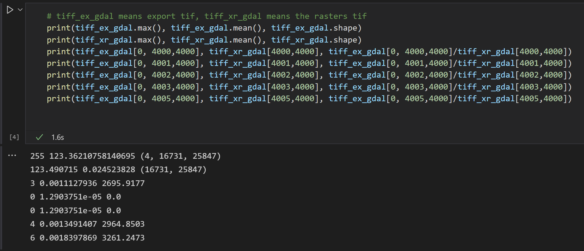
Firstly, when exporting an individual band from raw data displayed in snap as tiff extension, the output product is supposed to be displayed as one band image, in Erdas imagine and Envi however that single band shows up as multispectral 4-band image. I displayed the same exported band back into snap and the same problem occurs, Snap reads it as 4-band image not one band image.
was the export process performed incorrectly ?
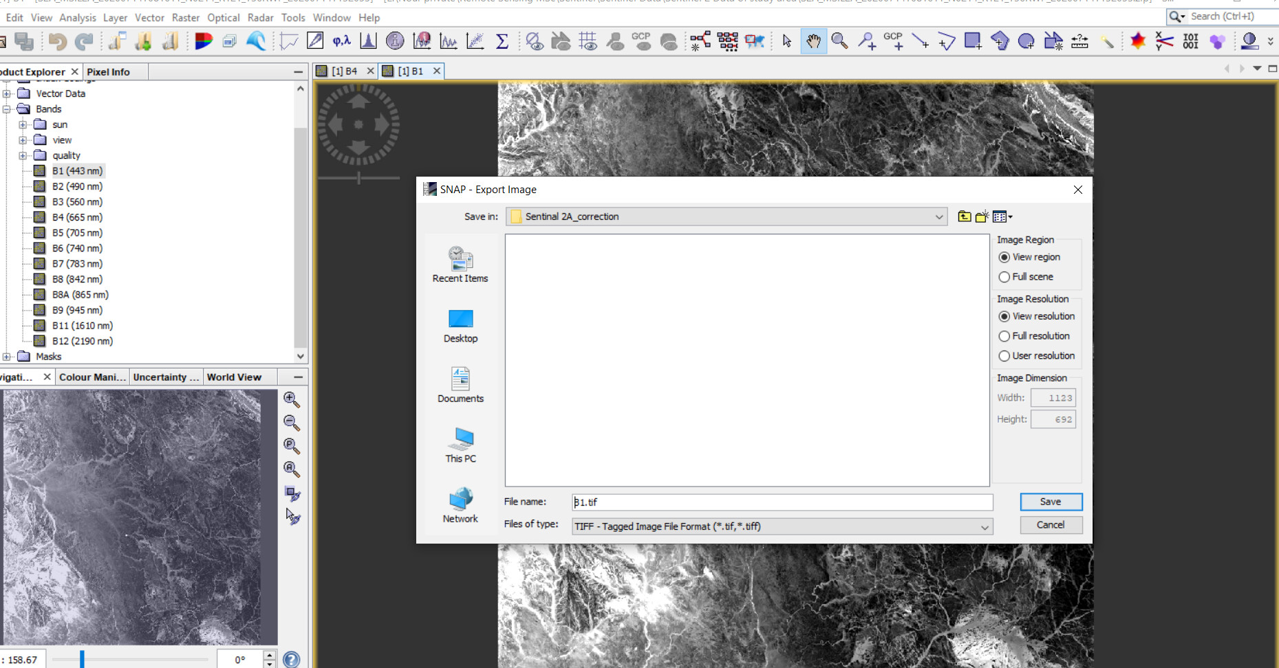
If you use “Export as image” the data is exported as RGB(A)-image. The alpha channel depends on the selected format. Also the values are converted to 8 bit colour values.
If you want to have only a single band in your output you need to create a subset including only this band. And then use the export action from the File menu.
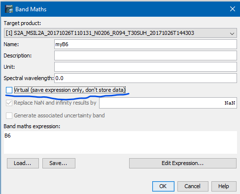
This way the raw values are exported. If you use the file in another application you need to apply the scaling factor. If you create a copy of the band by using Band Maths before you create the subset and uncheck the Virtual option the scaling factor is applied to the values and the geo-physical values are written to the output.
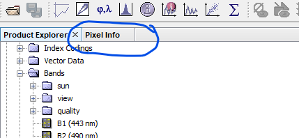
You can see the pixel values if you switch to the Pixel Info tab
There are good answers from @marpet and @ABraun, but just to be clear, saving as an RGBA geotiff image does not preserve pixel values. There are other problems with GeoTIFF used to store pixel values: GeoTIFF does not yet have a robust widely used metadata standard (recently, there have been efforts to store metadata in auxiliary files), and many applications that accept GeoTIFF input expect RGB(A) data and don’t handle floating point pixel values.
With current GIS software, NetCDF4-CF is widely supported and has a robust metadata standard. In my experience, providing GeoTIFF data to 3rd parties results in numerous emails asking for metadata details, while with NetCDF4-CF the number of emails is greatly reduced.
When I provide NetCDF4-CF data to others I suggest they install NASA Panoply – it displays metadata and can generate maps quickly.
It would be helpful to know what software you want to use to process the geophysical data.
It should be noted that geoTIFF is an older format, so widely supported, but has very limited metadata support. NetCDF-CF uses robust “Climate-Forecast” metadata conventions and is well supported by current versions of GIS software and many other programs. NASA Panoply is a small Java application that is useful for making images from NetCDF-CF and will display metadata.