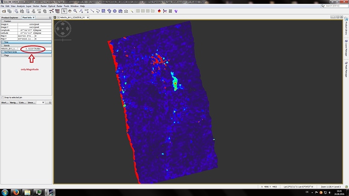
I ve calculated a “offset tracking”. In the resulting picture i got a layer named “Coregistrated GCP Move. Vector”.
Is it possible to export the vectordata (e.g. angle and magnitude of each vector), so i can read them with envi/Gis ?
Hi there,
i have an additional question. Does show the Offset-Tracking Output only the magnitude of change, in general (see picture)?
Or include it a complete vectordataset (magnitude and angle of direction)?
If yes, where can i find it. If no, is SNAP able to calculate a offset with magnitude and direction at all?
Please Help.
Thanks a lot.
