How can i export only vv_db image in geotiff so that i can open it in matlab
db bands are created as virtual products.
First you right-click> convert band
Then you select File > Save Product
Finally: Raster > Subset > Band Subset > Uncheck all unwanted bands and select Geotiff as output format
Thank you @ABraun .can we export lat and long of each pixel of image
maybe this answers your question: Export math band + lat-lon for each pixel
yes its working and I tried to plot it is in matlab through geoshow command
geoshow(lat,long,sigma_vv_db) but it was black image.Its like this…I tried to plot with different commands…but its nit showing the actual image…
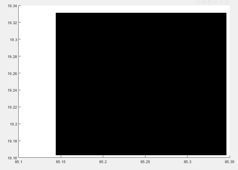
I’m not a matlab expert. Maybe the points you want to plot have a black frame which is superimposing the whole. Zoom in further to see if this might be the case.
I think zoom wont work because I want to see image on the lat and long.
Hello ,
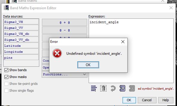
I am trying to create band for incidence angle in SNAP for sentinel-1 as mentioned in this forum with expression :incident_angle.I used to get error as below.what is the expression for creating a math band for incidence angle.
Do we need to get incident angles before geometric corrections?? As far as I understood after terrain corrections tie point grids are not responding.I need to create incident angle after terrain correction.how can I do that…