Hi
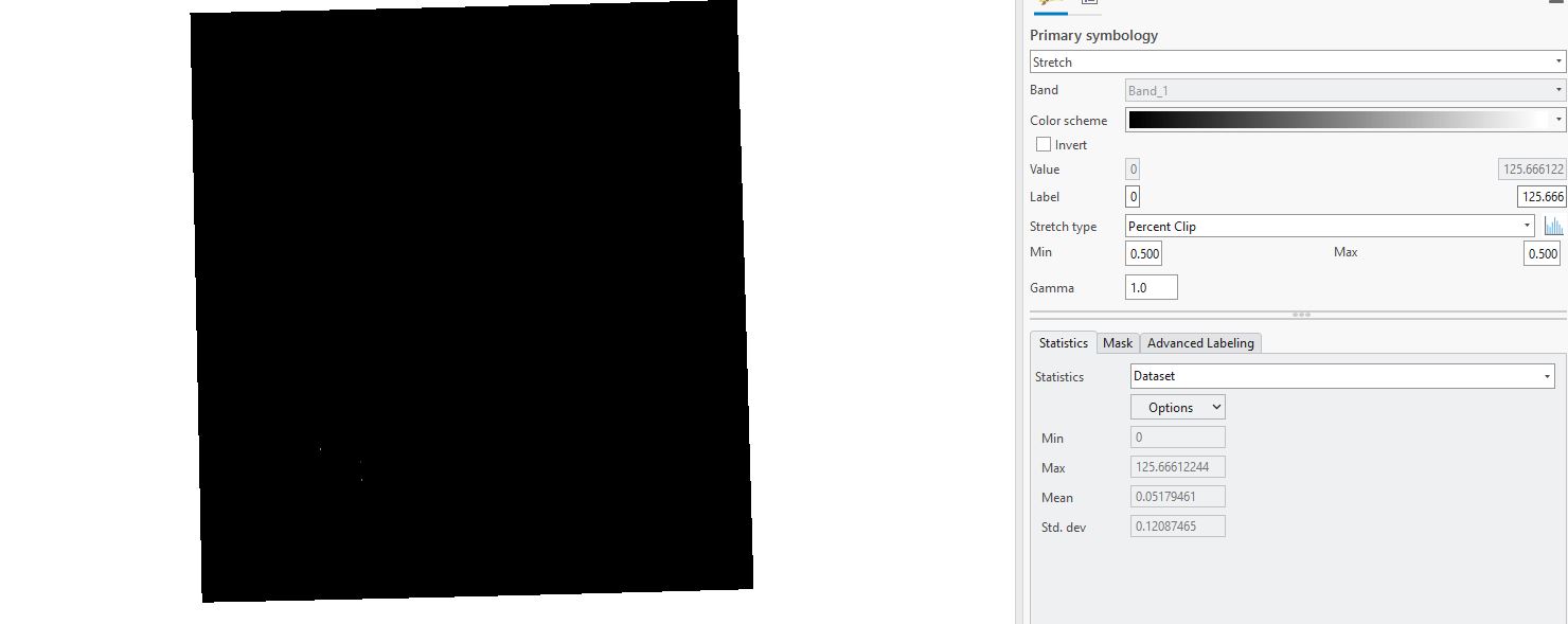
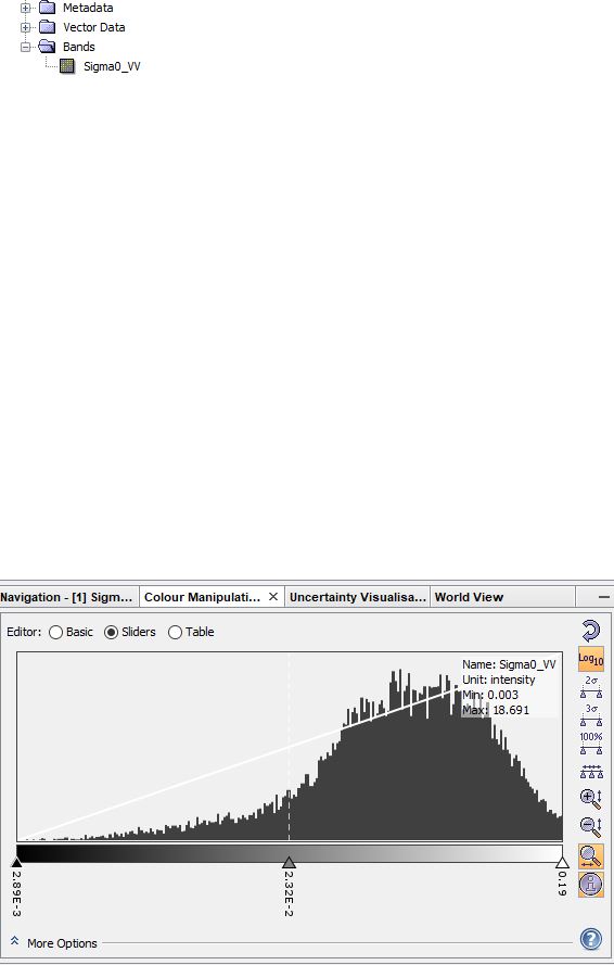
l tried to detect water area in Sentinel 1 data. Used calibration, speckle filter, geometric correction, and at-end band math. Afterwards, export to tif and open in ArcGis, but showed me black display. it does not show like in SNAP.
Does anyone like this one?
l did this with a different image, and the result is useful. so we can display and classify in ArcGIS.
is it possible make classify result data in Snap and export to SHP or TIF?