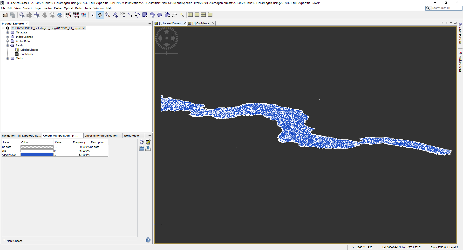
I am trying to export the results of my Random Forest classification (Image 1) into ArcMap for a more accurate assessment of my accuracy (of the results, rather than the classifier and its training data which I have retrieved from the Evaluate Classifier tool).
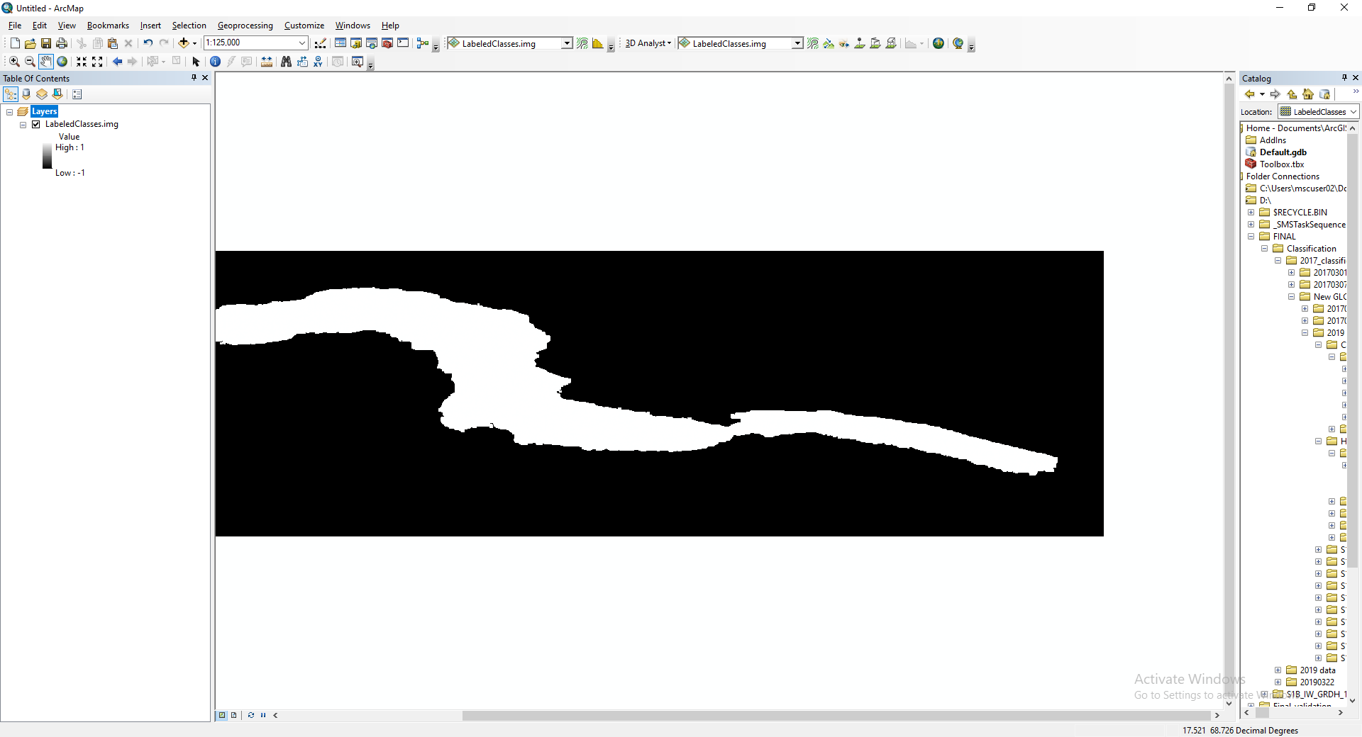
I have tried to open the image file in ArcMap but get the result seen in Image 2 below. I have tried changing the symbology to various different styles in the properties window of ArcMap but have had no success.
When you export to GeoTIFF, you are discarding metadata that gives missing value codes, scale and offset, etc. You will be better off using BEAM DIMAP or exporting to NetCDF4-CF.
Have tried both conversion to BEAM DIMAP and exporting to NETCDF4-CF, which for some reason is only exporting the ‘Confidence’ band, when I am interested in the ‘Labelled classes’ band. Any advice?
Have seen my error - for anyone else in the same position as me, you must first use the ‘Make NetCDF Raster Layer’ tool in Arc before proceeding. Both bands are then displayed.
Glad that NetCDF worked for you, and thanks for pointing out the need to use “Make NetCDF Raster Layer” (I send files to people who use ArcGIS, but haven’t had access to it since NetCDF4 gained wide support) as that may be helpful to next person with a similar problem.