hi all,
for geocoding when i try to use Cartosat-1 stereo DEM which is in tiff format it can not support.how can the external dem loaded for geocoding
Can SNAP open the Tif file and does it have a geolocation. Can you see the footprint in the correct place in the world map?
Are the elevations in the CartoDEM already corrected for the Earth’s gravitational model?
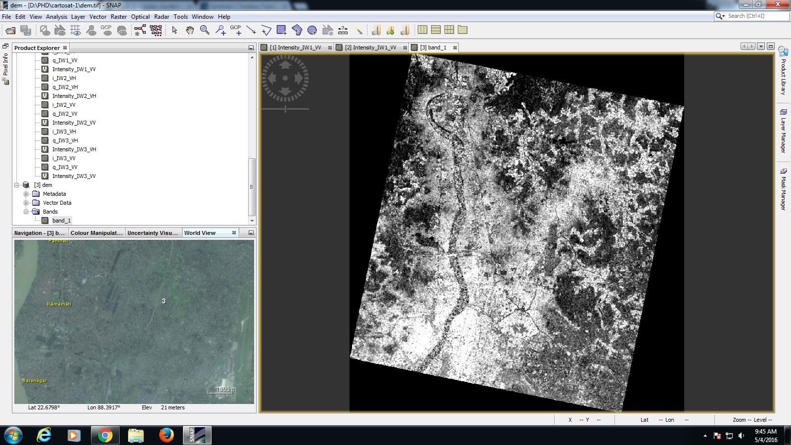
yes sir SNAP can able to open the image and its shows the geolocation .i have attached the snap shoot please have a look and tell me how can i use this external dem for geocoding?
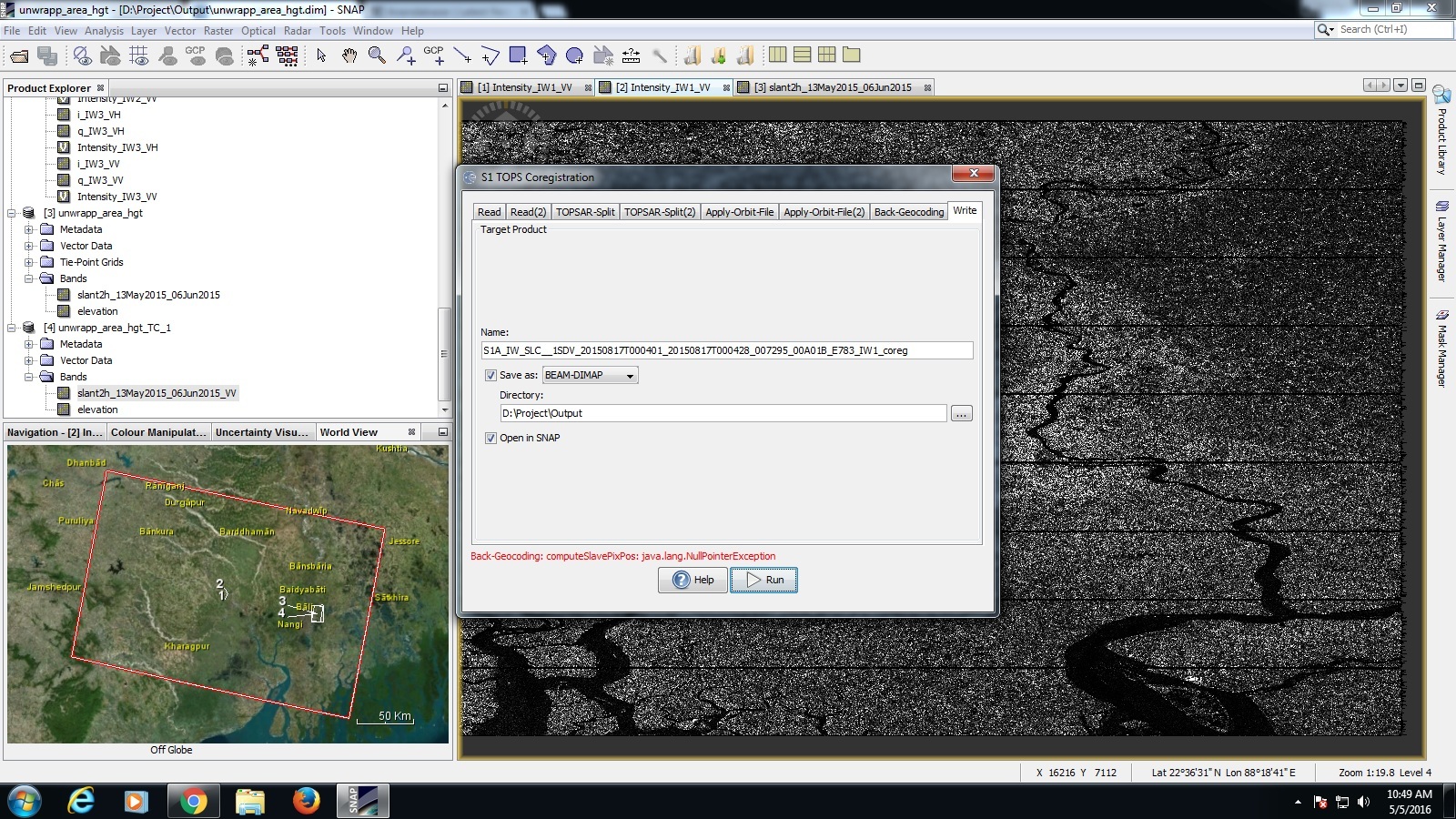
It should work assuming the SAR image and the DEM are over the same area. What error or result are you getting?