Hi, I converted L1C product to L2A product using Sen2Cor-02.05.05-win64 command line utility. Viewing output L2A product in SNAP, I can see quality_scene_classification rgb image under bands information.
I need to access the same, convert to Geotiff and process further using R. Issue is on opening L2A SAFE file folder structure, I see …_SCL_20m.jp2 and …_SCL_60m.jp2 under …>GRANULE>…>IMG_DATA> but these are available as greyscale image. Please help me understand how can I directly extract scene_classification information through L2A SAFE folder structure.
all of the data are greyscale because they represent the reflectivity of an area at a given wavelength. The colours only emerge when you combine them to an RGB image.
Thanks ABraun for reply. Do you mean combine _SCL_20m.jp2 and …_SCL_60m.jp2 after re-sampling?
As is each of these SCL files are internally made of 3 bands and combining into a greyscale image which am not able to classify as per L2A scene classification legend.
Sorry, I misunderstood that you mean the scene classification.
Is there no binary raster of it somewhere?
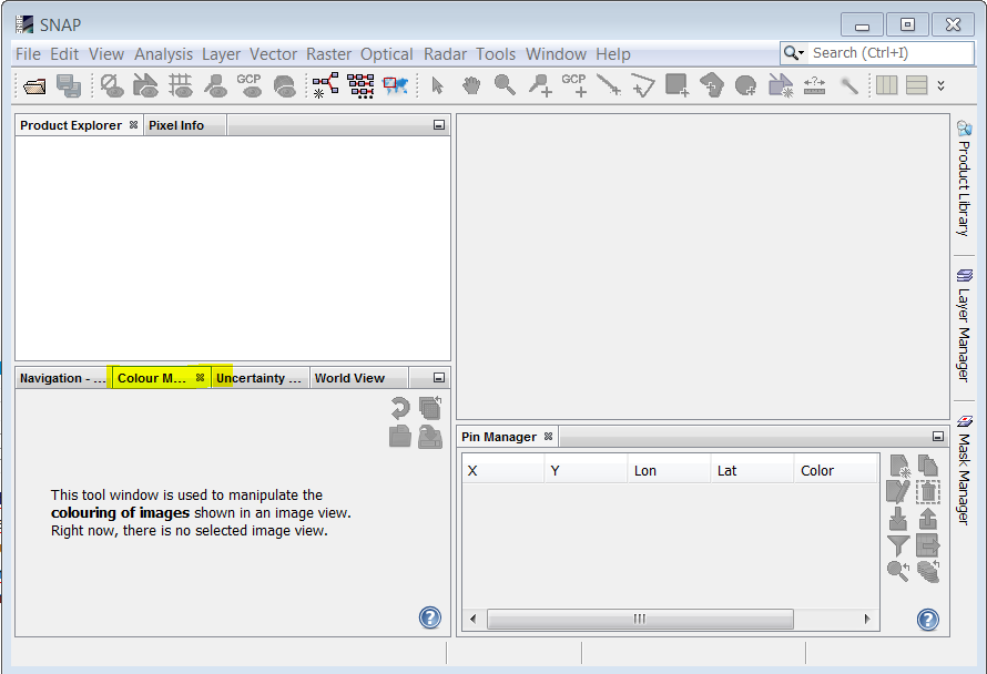
The SCL images contain pixels with the values 1,2,3,4… that indicate the class. The interpretation is made by the S2 reader in SNAP that recognize that is the scene classification and then it creates a colour map for representing it (1->Red, 4->Green …).
But if you open directly the SCL files instead of the full product, this interpretation is not made and you will see it in a greyscale (the same will happen if you open it in other softwares). It is possible to define manually a color interpretation in most of the softwares. For example in SNAP, you can do it in the Colour Manipulation window: