How to calculate area of Water pixels from binary image created from sentine-1 image. I want to know the total area inundated by water for water masked image? How can I solve this issue?
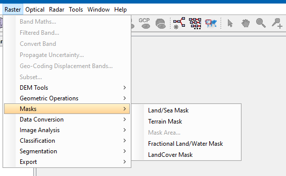
You can use the Land/Sea mask operator or the Fractional Water Mask operator to add a water mask to your data. With this you know where you have water and where land.
1 Like
I would also recommend you tutorial of RUS Copernicus which describe water detection in case of floods.
