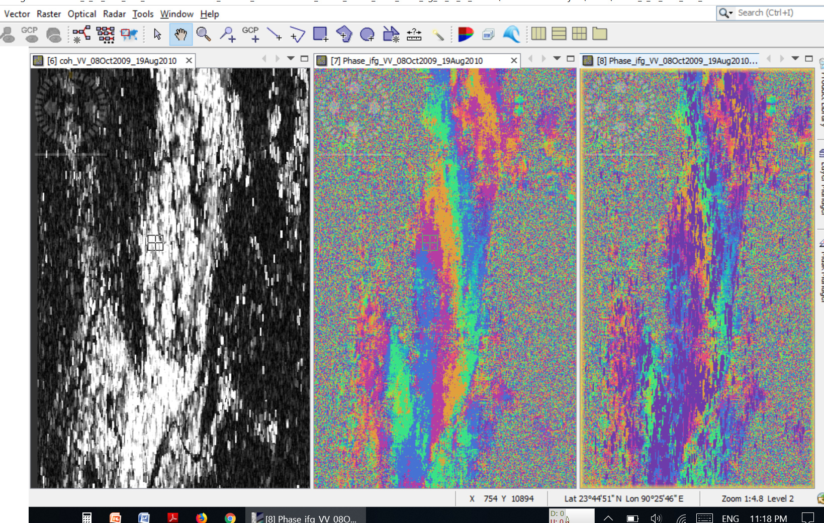
Hi, Im trying to monitor subsidence with Envisat images following a tutorial (https://eo-college.org/resources/insar_deformation/) Given that I only have a few image acquisitions in my area, I was forced to select images will small perpendicular baseline but large temporal baseline. (the area is urban in nature)
I have followed all the steps in the tutorial (coregistration, interferogram, topo phase removal, filtering). But the interferogram looks suspicious to say the least. What am I doing wrong.?
The interferogram on the far right have been filtered twice