From PolSARpro to GeoTIFF format

Hi dears,

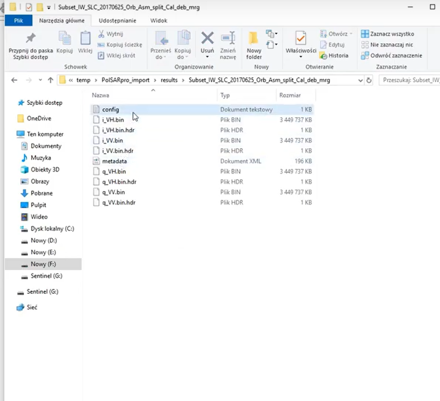
Thanks to this tutorial I managed to orthorectify my “.bin” results. But it’s a long process…

I’m a bit surprised that there I is no simple scriptable way to generate geocoded output (GeoTIFF) of PolSARpro for a visualisation in a GIS soft (cf Qgis/Arcgis) in order to generate maps. I should have miss something right?

Any tips on this topics are warmly welcomes!

Cheers,
Ari

What data are you using and what exactly have you analyzed in PolSARpro?

Ah yes sorry, I’m playing with S1 data, generating alpha/anisotropy/entropy/shannon_entropy and different combinaisons in order to discriminate electric pylons and explore what could be detected thanks to polarimetry (mainly environmental application).

if you are fine with Alpha/Anisotropy/Entropy you can calculate all of them inside SNAP. Only Shannon Entropy is not implemented.

Yes I saw that and I gonna try, but those are also investigation for further process.
I’m looking forward NISAR and Sentinel1C/Sentinel1D.

Is SNAP going to implement Yamaguchi, Singh and other decompositions in the futur ?

Yamaguchi is implemented, but I don’t think it works for dual-polarized data.

Hello everybody

I followed this tutorial https://www.youtube.com/watch?v=q79fQq9tTBg step by step, but for some reason that I don’t understand, I don’t get the same results.

When the subset is exported in PolSARpro format, at minute 9:47 the tutorial shows that the following files are obtained:

But for some reason I get is this:

That is NOTHING, except for de config.exe file, there is nothing.

I have already tried many times with different images or procedures, but I always get the same result.

Please can someone explain to me what I’m doing so wrong.

Thanks

Hello everyone again

I repeat all the procedure of the tutorial before I was mentioned, it appears that:

Can someone explain to me what does raf==null mean?

Thanks