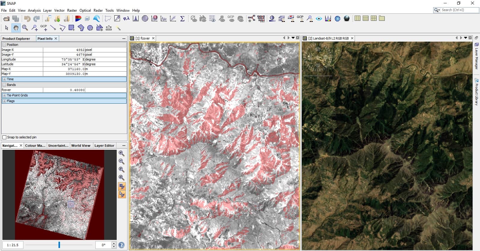
I have generated Fractional Vegetation Cover (FVC) of a full Landsat 8 scene, Collection 2, Level 2 (L2SP Surface Reflectance). The angle bands were deduced from Landsat 8 Collection 2 Level 1 of the same date and added to L2SP via band math to run the processor. The outcome of the Biophysical Processor Landsat8 flags majority of pixels as “fcover_input_out_of_range” within the scene over densely vegetated areas as seen below; Same is the case with other products (LAI and FPAR);

I’ve read apparently similar problem and subsequent discussion over here; https://forum.step.esa.int/t/lai-and-fvc-flags-in-sentinel-2-data/
But in my case, there is no such inherent problem I am facing with. Dense vegetation forest canopy is clearly visible and FVC values have been generated by the operator regardless of low values than expected, simultaneously cells contain FVC values over flagged areas!
I am wondering what might be source of such weird outcome.
Thanks