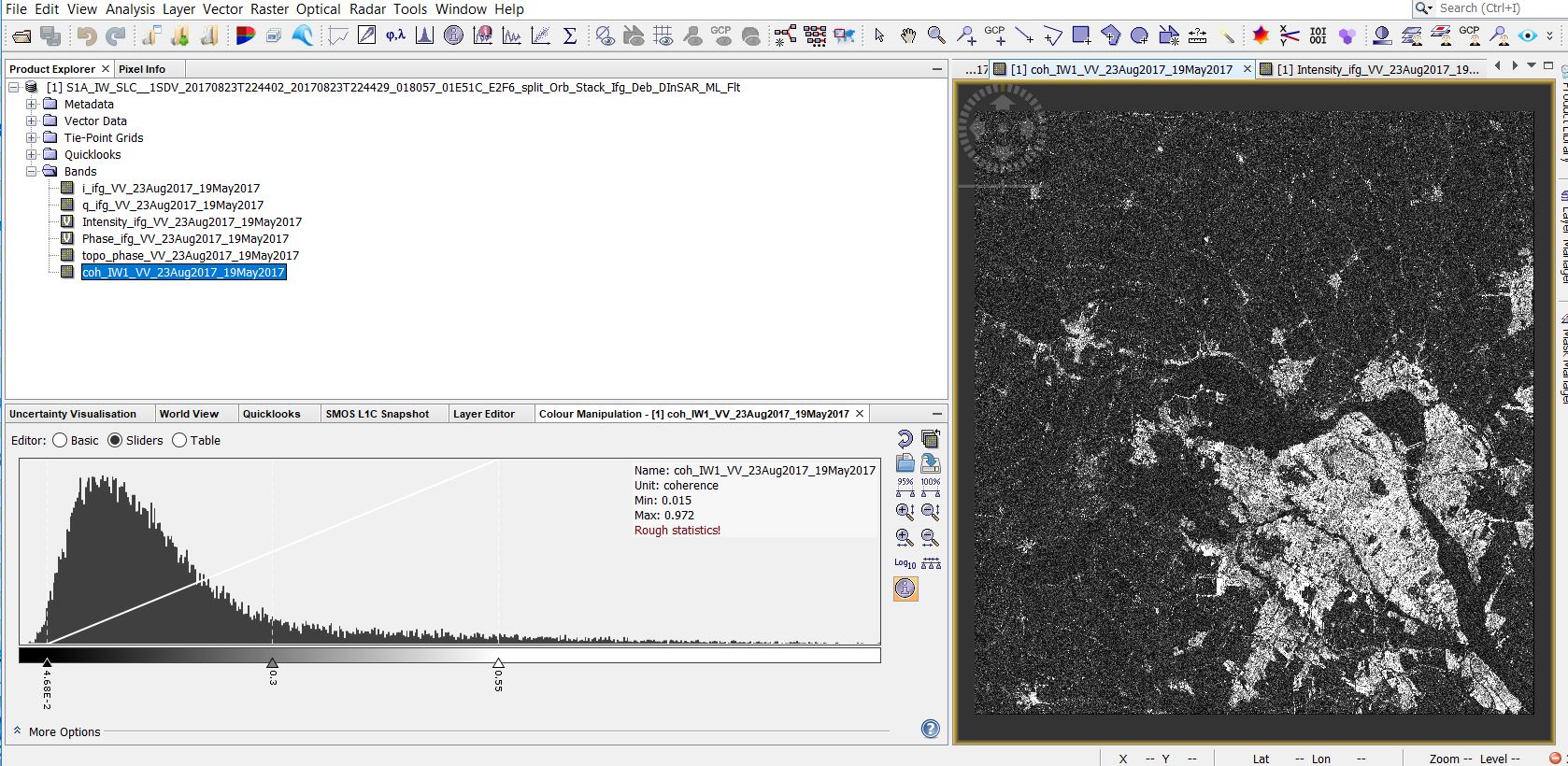
I need some hints and advice for my project. MY background is a water resource management and I also have some experience in GIS. But I am not a Geodesy or remote sensing expert and I don’t want to get wrong since the beginning. I am doing my Ph.D. in geotechnical engineering and I am working on the impacts of climate change on land subsidence (in eastern CANAD,Quebec). I developed a FEM model for modelling the deformation in the soil. I am trying to compare it with InSAR analysis results. I used the same procedure as the Mexico case tutorial with Sar-Sentinel-1A and the smilar adjusts. the result that I got is not that bad. But, I believe it is not still reliable. At the same time, I figured that there is another product that called TanDEM-x and seemingly, it results in more reliable outcomes concerning the deformation. I tried to download the data, but I should send them a serious proposal and I don’t want to get involved in those stuff as I am not even sure that mtethod would work better for me. Another problem is that the rate of the settlement in my case would be less than 12 mm and as INSar result can be easily impacted by the wrong settings, I need precise adjusting and correct procedures to make the error as minimum as possible.
My question is: is it ok to use the same settings as Mexico case for my project, as it is located in another longitude and the vegetation coverage is much more noticeable here in quebec, Canada.
secondly, d o you think that switching to TDM (tandem-x) is necessary or it would not be that much hepful? I saw even some people used TDM for monitoring the crop growth.
if you can get TerraSAR-X / TanDEM-X data for free via a proposal - go for it. Not only does it provide better spatial resolution, but also it is great to compare DInSAR results from different sensors (example). Additionally, X-band is more precise due to its shorter wavelength (however, having larger decorrelation over vegetation). Check if the images archives of TerraSAR-X / TanDEM-X has already some time series stored o ver your study area.
For DInSAR, this is better than large deformation, because if the deformation is larger than the wavelength between two acquisitions, the phase difference becomes ambiquous and no longer exploitable: https://www.mdpi.com/2076-3417/7/12/1264