Hi forum, this is the first time I use S1TB for polarimetric purposes.
I have some TerraSAR-X dual pol HH-VV stripmap SLC ascending.
I was supposing to follow these steps to derive dual pol H, A, alpha products?:
1 calibration with complex output
The big question is: how to geocode the decomposition products? Using Radar > Geometric > Range doppler terrain correction?
Thank you very much
ABraun
March 26, 2017, 2:38pm
2
yes. If you have data in slant range geometry the best way to geocode is the Range Doppler terrain correction as it removes geometric distortions due to terrain effects.
Thank you very much ABrown.
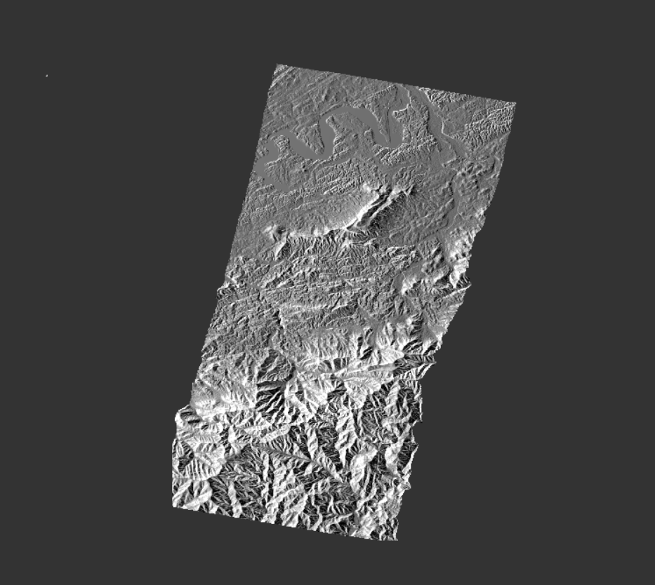
hello, I alos would like to geocode the data by Range Doppler terrain correction, but why is the geocoded image incomplete?
ABraun
March 21, 2022, 4:45pm
5
Why do you think it is incomplete?