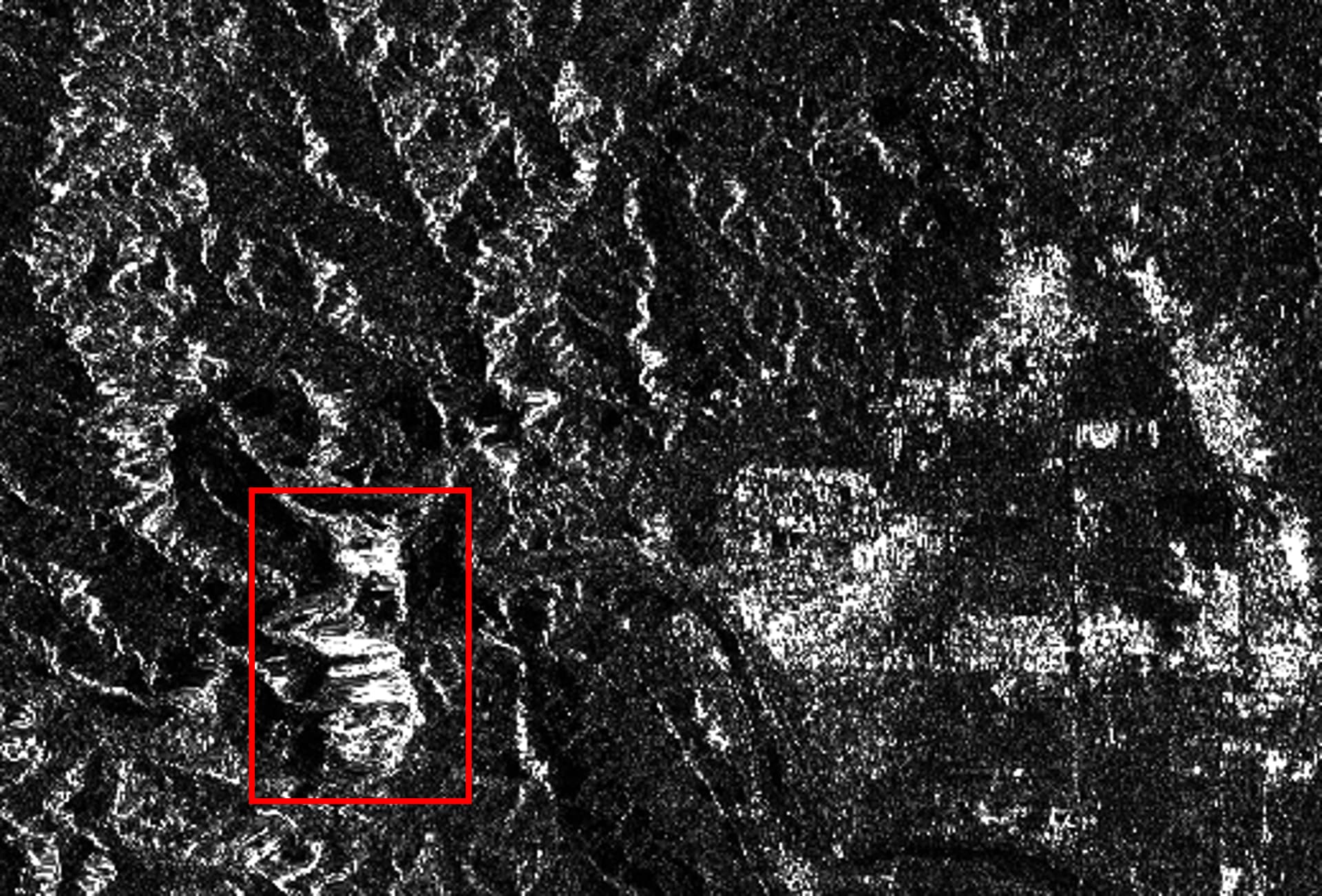
The data I use is S1A_IW_SLC__1SDV_20230312T103004_20230312T103031_047610_05B7BE_441E. The above shown area is in bottom part of IW2.
srtm 3s for DEM. snap version 9.0.3.
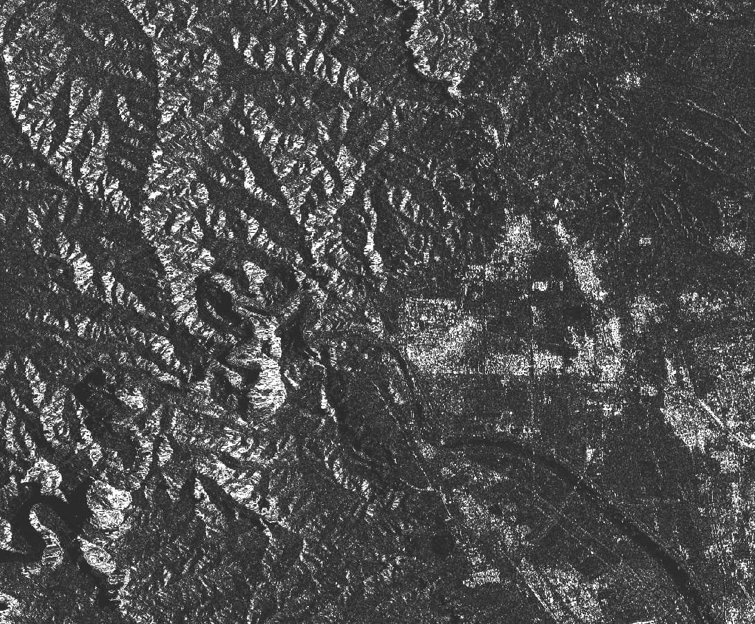
Sorry, I find that ENVI generates same result. So I guess this kind area needs extra processing.
SRTM is a DEM from 2000 while the Copernicus DEM is from 2011-2015. Mountains don’t usually move so this is likely some error in the times or orbits of the product.
Try applying the precise orbits, deburst and terrain correct with the Copernicus 30 DEM