Hi everybody,
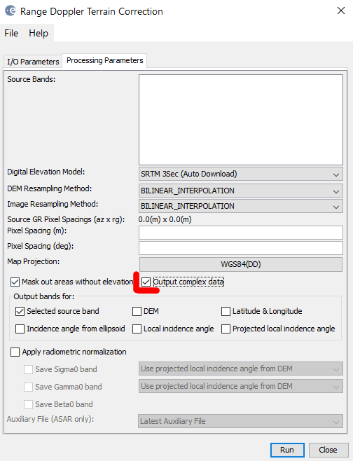
Can I geocode a SLC image with the result still containing imaginary and real parts? I want to do InSAR with some codes and it will be great with a geocoded image.
Thanks in advance.
Cheers
Cuong Cao
1 Like
You have to do InSAR before you meddle with the phase. InSAR 1st, gecoding last.
1 Like
I got it. Thank you a lot
Thanks for your reply.
I want to do Insar by using Matlab codes, the result of each step might be easier to see as the image is geocoded.
the problem is, and I agree with mengdahl, that you resample your data at the terrain correction step. Polarimetric features which reveal scattering mechanisms within pixels might no longer be the same after terrain correction. That is why it is usually applied at the very last step of PolSAR analyses.
1 Like