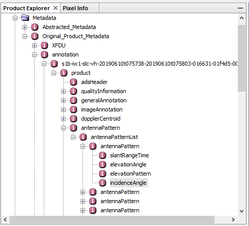
the “incidence angle” is present in the metadata of any Sentinel-1 product and as a raster.
But Sentinel-1 SLC products are divided into three swaths because of the TOPS acquisition principle: S1 Applications
So there is an incidence angle for all three swaths (and both polarizations in case of the metadata).
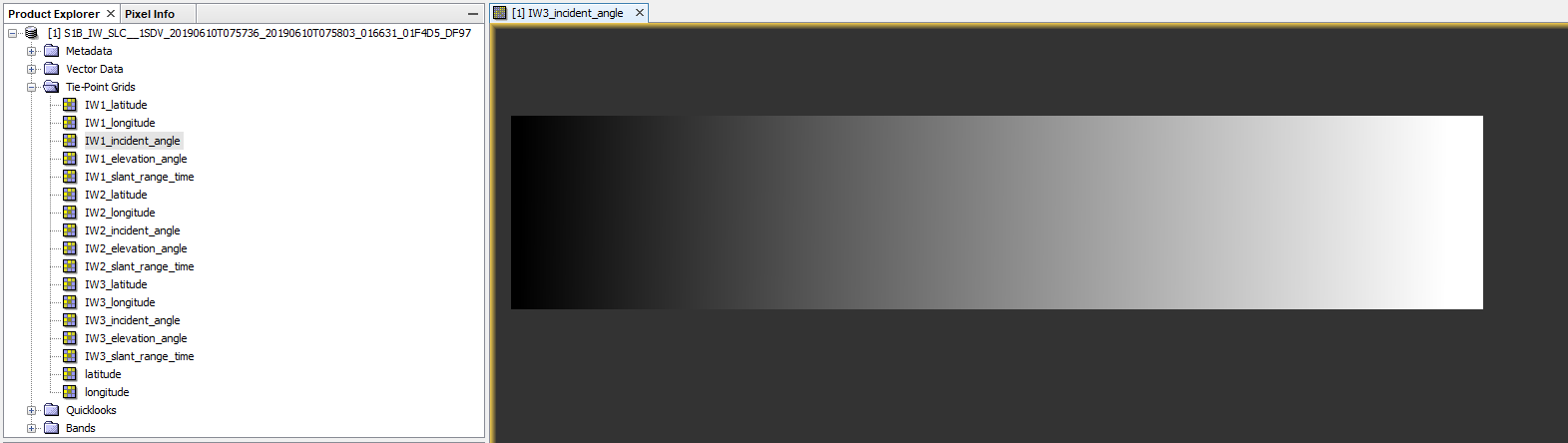
If you download the GRD product, you only have one raster product and one incidence angle.
Or are you talking about the “local incidence angle” which considers the underlying topography: 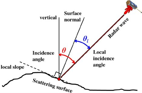
source
This can be estimated the terrain correction modules and given as an additional output (example here).