Processing new ASAR geotagged data and would like to
update georeference
apply terrain correction with an external DEM applied
but SNAP returns the following error message:
for both 1) and 2) “Metadata radar frequency has not been set”
It looks like it cannot read Metadata file?
This is not a standard product, so I expect issues but any guidance on how to solve this issue would be very much appreciated. Thanks
I am working on a NASA project at USF using new L-S ASAR data, so currently unsupported on SNAP. I can open Geotiffs in SNAP and view them but SNAP seems to have a problem recognizing it’s a SAR data whenever I select radiometric terrain flattening for example - a message “Input should be a SAR product” appears. Similarly, a message “Metadata radar frequency has not been set” appears when I try to do any Geometric processing. My ASAR data files contain tiffs, h5, META and grid data but for some reason SNAP cannot read them correctly, returning these error messages.
I’m afraid you cannot do much with unsupported sensors. SNAP needs to have the metadata (incidence angle, wavelength, orbit position…) for many SAR-related processing steps. All these are not contained in a GeoTiff.
I was hoping that I would be able to manually enter that information during open/import file step, as I do have all that information (incidence angle, wavelengths, orbit position…) in my Metadata file. If there is an alternative way of making SNAP read this data or another more ‘manual’ data input approach, your guidance would be much appreciated.
Thank you for your suggestions but ‘rubbersheeting’ is not useful for my project. I actually want to do the Radiometric Terrain flattening and not the geometric one. Would the code for Radiometric Terrain flattening be as complicated to enter manually too from my Metadata?
I was wondering if alternatively there is a way of creating a personalized data reader code (or plug-in) for SNAP to be able to open and read my ASAR-ISRO data. Any guidance on how to create that?
there is pseudo-code of how the terrain flattening is done in figure 4 of this article. If you are able to implement that yourself, you can give it a try.
SNAP offers no tool to manually enter metadata, sorry.
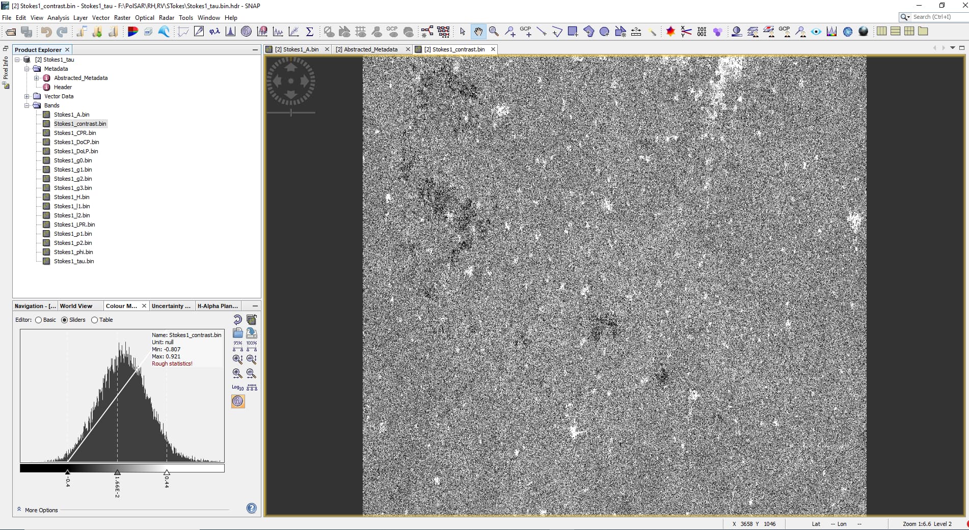
I am facing the same issue while Terrain Correcting the synthesized compact polarimetric Stokes Parameter of Radarsat-2 from PolSAR-Pro V.6 Biomass in SNAP. Expecting your guidance on the same.