Hello good time
I want to georeference a simple (non-satellite) image using the control points.
Is this possible in Snap?
If possible, please tell us how.
Thanks a lot.
Explanation: My image format is PNG.
Hello good time
I want to georeference a simple (non-satellite) image using the control points.
Is this possible in Snap?
If possible, please tell us how.
Thanks a lot.
Explanation: My image format is PNG.
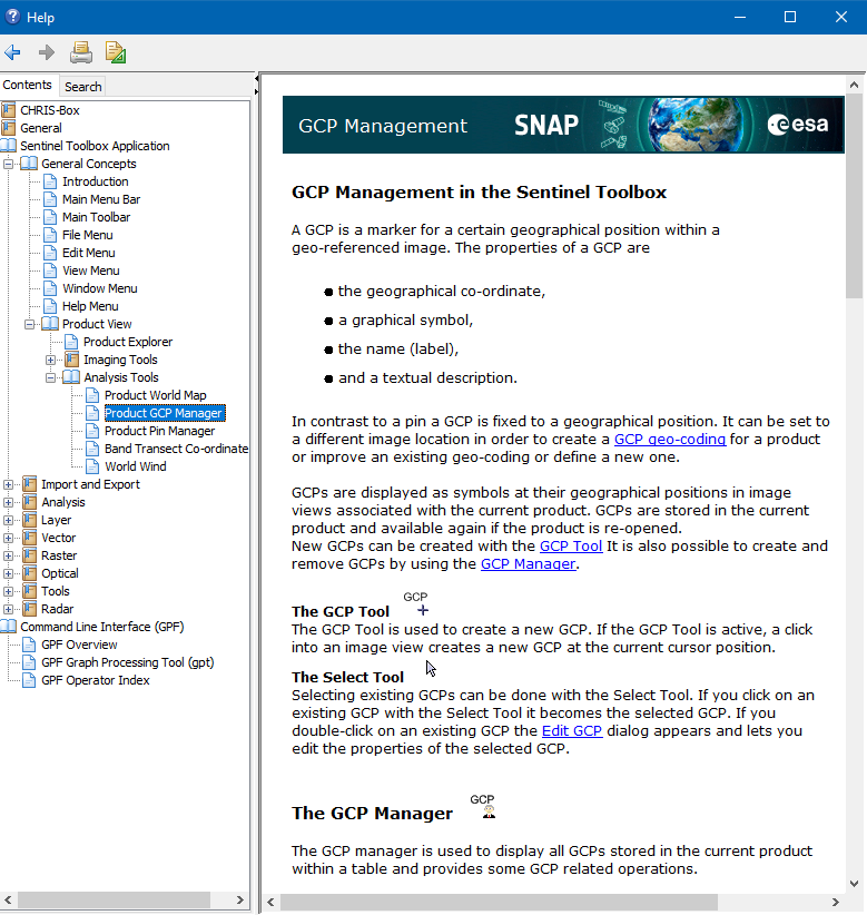
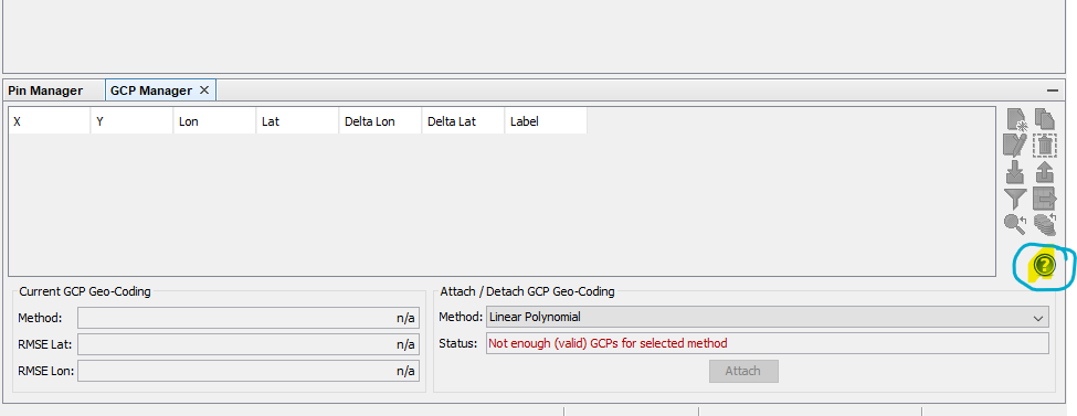
Yes, this is possible by using the Ground Control Points.
You only need to know the geolocation of some of the points in your image.
Afterwards you can save it as e.g. GeoTiff.
The procedure is explained in the help
Thank you very much Mr Marco.
Is this only possible with geographical coordinates? Or is it also possible with utm coordinates?
Just geographic latitude/longitude coordinates on WGS84.
I’m sorry I didn’t get it right.
I meant georefrencing with Projected Coordinate Systems , not Geographic Coordinate Systems .
As coordinates for the GCPs you need to provide geographic latitude/longitude coordinates on WGS84.
UTM coordinates will not work.
After you have georeferenced the image you can do a reprojection to have the result in a projected CRS.
Oh, I got it, thank you mr marko