You can directly geocode your result in PolSAR pro given that the paths linking to SNAP binaries are correctly set. This grants that the data is correctly used.
I don’t have an idea, sorry.
You could try using SRTM as input DEM which is automatically downloaded. This could at least exclude the external DEM as an error source.
Thank you so much, I could do it using SRTM dem but, I should do using laser data dem. because laser dem is more accurate than SRTM. How can i correct this error ?
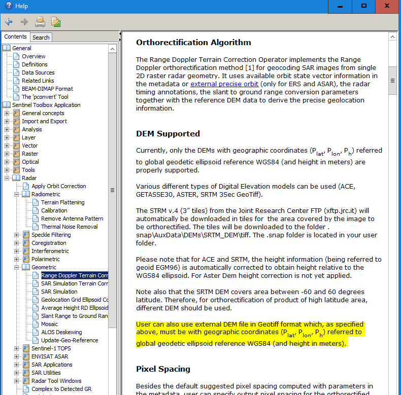
you can use the laser DEM as “External DEM” source in the terrain correction step. Just make sure that it is projected in WGS84, as described in the documentation.
Defining it in the properties is the wrong way. You will have to reproject the data using Data Management Tools > Projections and Transformations > Raster > Project Raster
You find WGS84 under Geographic Coordinate Reference Systems > World > WGS84