Firstly, you will have to stick to “Geographic Lat/Lon WGS84” as an reference system, don’t use UTM CRS (explanation is here: Georefrence in snap)
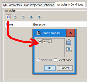
The other thing is, you have to select a variable. In your case, it is just “band 1” as each Tif has only one band:
All of this is described in the help section, do you even look at it? 