Dear all,
I have some questions about coordinates of geotiff file.
I converted TerraSAR-X image to sigma0 and saved as GeoTiff format.
After, applied geometric correction to the sigma0, and also saved as same format.
As I know, geotiff format includes lat, lon coordinates information, so in SNAP, they have right coordinates.
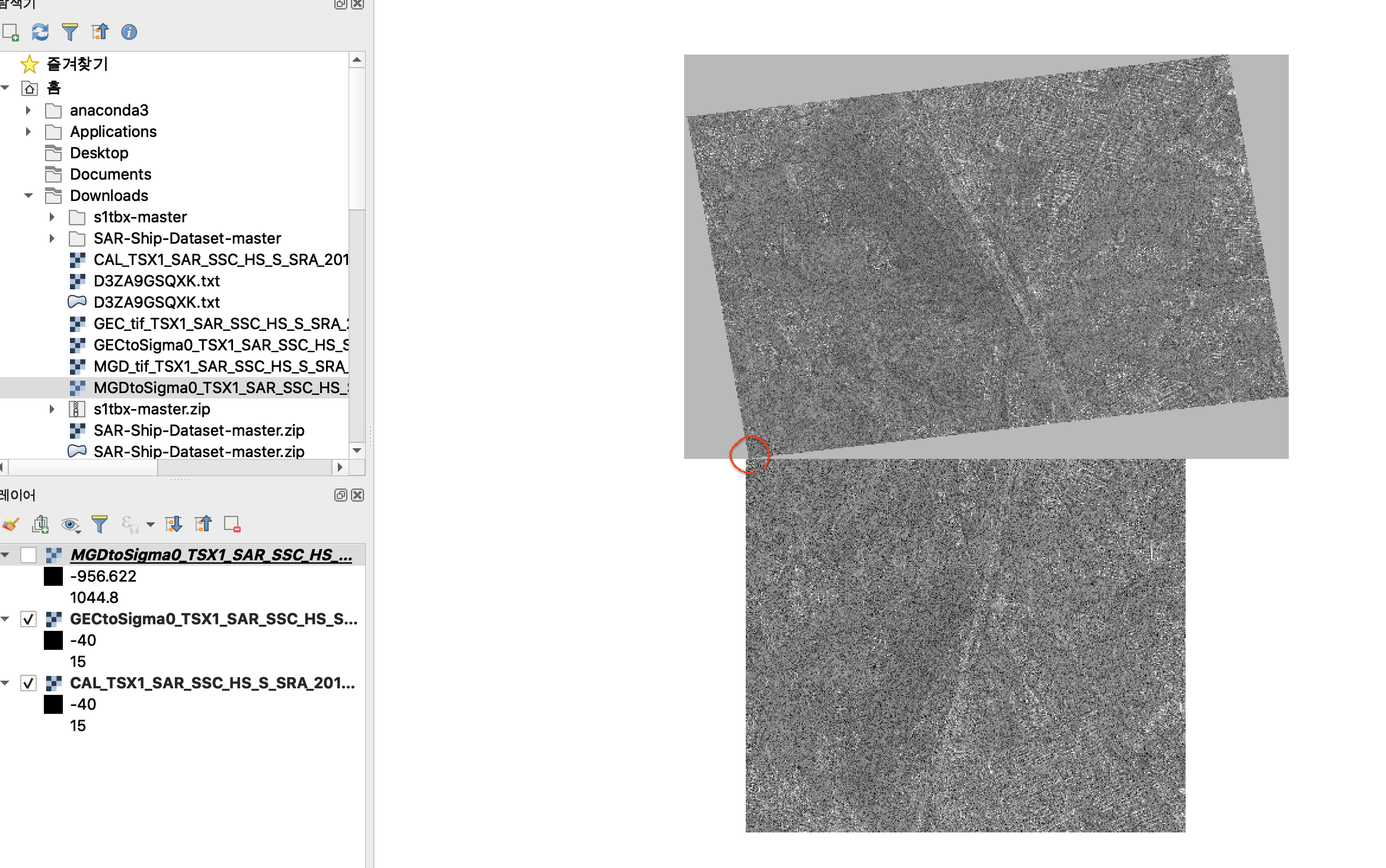
However, in QGIS, only geometric correctd image has right coordinates, and the level-1 image(before geometirc correction) have wrong coordinates.
The level-1 file have the right coordinate at only the first pixel as shown below
I wondow in SNAP, how to import the right coordinates as images. Also if I want to export the geotiff file with the correct coordinates for every pixels, what should I do?
SAR products have their geocoding stored in the metadata. SNAP is able to read them, but QGIS cannot read it. Furthermore, after you convert to GeoTiff, this metadata is lost. If you want to use a GeoTiff in QGIS, you need to apply Range Doppler Terrain Correction which projects the image into a coordinate reference system.
Lastly, conversion to GeoTiff is not necessary in most cases, because QGIS can also read the img files of the BEAM DIMAP format written by SNAP. It is located inside the data folder and is compatible with nearly any GIS software. This means you can maintain the BEAM DIMAP format so your product is readable in both SNAP and QGIS without having to write duplicate products.
Thanks for your reply.
I asked this question because I want to import the level-1 SAR data in another viewer program.
of course with its own coordinates, and also the program use tiff format.
Then, you mean, before geometric correction, there is no way to display SAR data including its coordinates?
But when I open the converted tif file in SNAP, I can see Tie-Point Grids which has latitude and longitude.
As I know, through ‘Band Maths’, I can export the lat and lon file separately as tif or other format.
Is there any other method that I access the grid data?