ALOS AVNIR-2 Ortho Rectified Image Product
The ALOS Ortho Rectified Image Product (ALOS-ORI) released by the Japan Aerospace Exploration Agency (JAXA) is open to the public. The ALOS-ORI consists of the AVNIR-2 ORI product compiled from images acquired by the Advanced Land Observing Satellite “DAICHI” (ALOS) operated during the period from 2006 to 2011. NASA, in cooperation with JAXA, makes the dataset available through the ASF DAAC. (Data products are added daily)
TEST:
I downloaded a couple of images in the WGS84 / UTM Zone18N,
And I did the following tests:
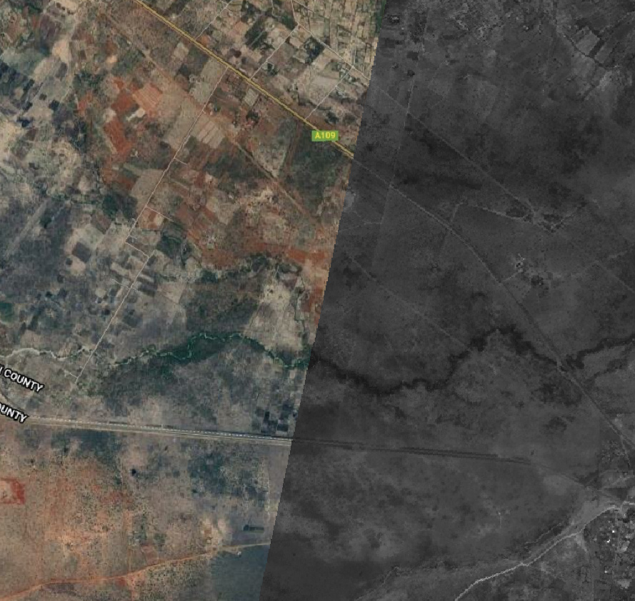
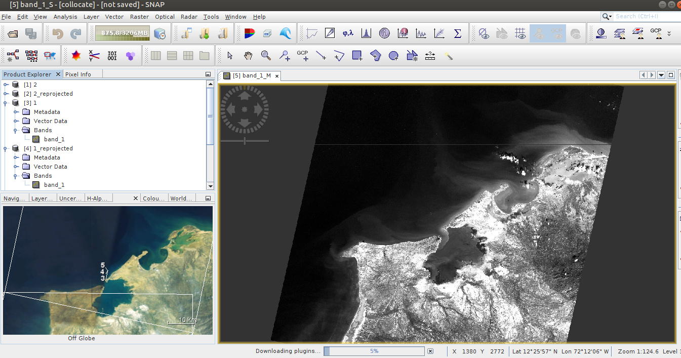
1- I opened the .zip file in SNAP V.7.0, The first thing I noticed is that they are not correctly orthorectified. The second thing is that it only loads 1 band of 4. But it can be orthorectified and exported, carrying out the process for each band.
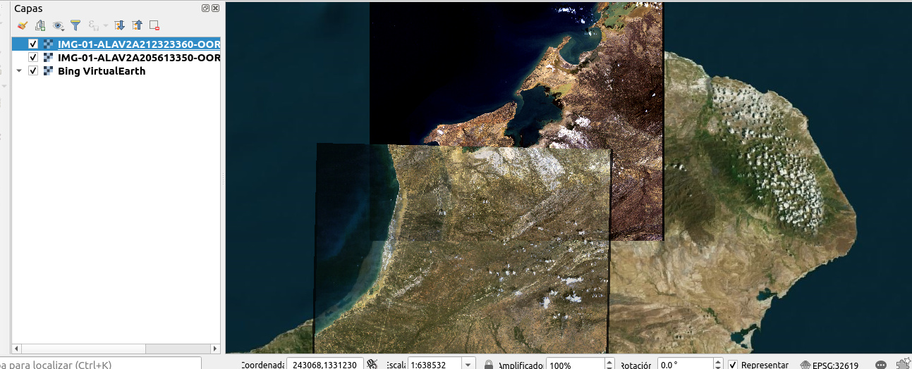
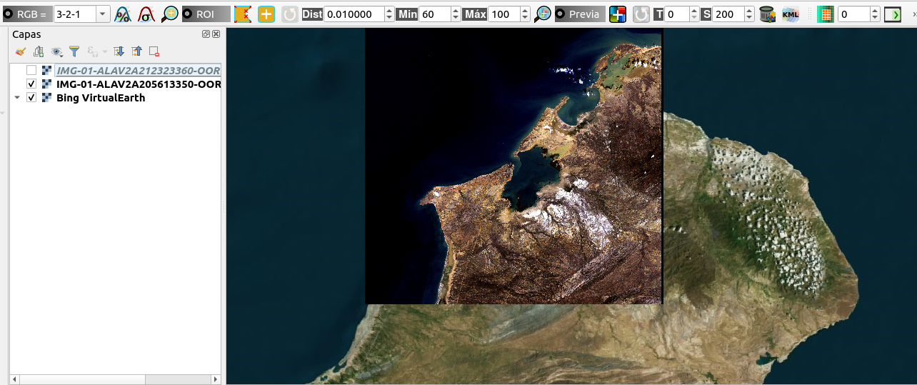
2- Same images but open in Qgis 3.
ALOS/PALSAR/AVNIR-2 and ALOS-2 ScanSAR data products usage conditions:
(i) JAXA does not guarantee any specific quality and the timely provision of the ALOS/PALSAR/AVNIR-2 and ALOS-2 ScanSAR data products and shall not be liable for any damage brought about using them.
(ii) The intellectual property rights, including but not limited to copyrights, of the ALOS/PALSAR/AVNIR-2 and ALOS-2 ScanSAR data Products belong to JAXA.
(iii) The user shall retain the ownership of value-added products (modified products with high-level processing which are irreversible to standard data. High-level data processing includes data analysis or combining multiple- ALOS/PALSAR/AVNIR-2 and ALOS-2 ScanSAR data Product, image processing based on external information, and physical quantity conversion).
(iv) When the user publish and/or redistribute their-generated value-added products based on the ALOS/PALSAR/AVNIR-2 and ALOS-2 ScanSAR data Product, users will indicate, “the original ALOS/PALSAR/AVNIR-2 and ALOS-2 ScanSARdata products are provided by JAXA”.
(v) When the user intends to publish the results directly using or indirectly based on the ALOS/PALSAR/AVNIR-2 and ALOS-2 ScanSAR data products, the user will indicate owner of the Data Products as “©JAXA [year of acquisition]. All rights reserved”.