Hi,
I have been trying to mosaic the terrain corrected of stacked images listed below:
S1A_IW_GRDH_1SSV_20151009T124703_20151009T124728_008076_00B514_AC81
S1A_IW_GRDH_1SSV_20151009T124728_20151009T124753_008076_00B514_F741
S1A_IW_GRDH_1SSV_20161003T124707_20161003T124732_013326_0153F0_AFAB
S1A_IW_GRDH_1SSV_20161003T124732_20161003T124757_013326_0153F0_EEB9
I tried the following steps. The same can be find in image.
- Apply Orbit,
- GRD Border Noise Removal
- calibration
- Dem Assisted Stack
- Multi looking
- Terrain Correction.
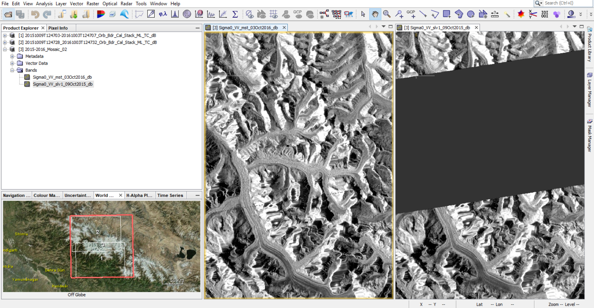
I am getting a strip line in between the two images of one year and a huge gap for another year.
could some one help me in this regard.
Thanks,
Abhilash.
Could some one look into this issue…
Step 5. doesn’t need to be applied again, since GRDH, is already multilooked ,
Which DEM did you select in the 4- Dem Assisted Stack?
And Which one in the 6- Terrain Correction?
Hi Falah Fakhri,
While terrain correction it will multi look by default. I have tried with out multi looking as well. But there is no change.
DEM : SRTM 3sec auto download
Terrain Correction: Range Doppler Terrain correction => (UTM / WGS84 automatic)
As I mentioned in my previous post multilook step it doesn’t need, concerning the DEM, please try up SRTM 1sec,
I did with that too. But there is no change in result.
Yes, as @ABraun said, why they should be different, my deleted post, because I was thinking that you got an error,
ABraun
8
why should the result be different? RD Terrain Correction makes square pixels with the highest spatial resolution possible.
There is another step “Mosaic” after stack / Terrain correction.
I have been trying, but not getting the result.
Pls let me know, if you are getting the result without error with the provided data set.
Otherwise let me know the possible steps to be followed from scratch to get correct result…
Thanks,
Abhilash.