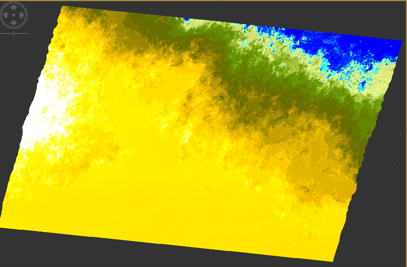
I am looking at ground displacement along gas pipelines using sentinel-1 data. I have produced a series of image pairs and I can average them over time to get an idea of ground displacement. I followed various tutorials using the same imagery and I feel confident that I have processed my images correctly. I do however have have some errors in the data which can be summed up as…
I have extremely high and low values (ranging from -500 mm to +500 mm)
These values seem to occur over the whole image.
Now I can only think of three reasons for this →
1 - the processing was done incorrectly. I think this is highly unlikely as I carried out the image processing the same way as the tutorial. Also when I saw possible error I redone the processing with the same occurance.
2. Error in either of the images upon capture.
3. A calculation to correct the offset.
Has anyone come across something like this? I tried searching, but I couldn’t find an answer.