Unser the link below I’ve uploaded a tutorial of interferometric workflow for extraction of digital elevation model from pair of Sentinel-1 SLC datasets.
DEM from Sentinel-1 in SNAP workflow
4 Likes
Great, thank you Przemysław!
You’re welcome. Best regards.
I like the way the demo is done and the music works even when speeded up  I was wondering about your choice of data since the long temporal baseline causes the vegetated area to be almost completely decorrelated. I wonder how good the result could be if you used a 6-day pair, which should be possible everywhere in Europe.
At this time I’m testing several parameters for better results because in tutorial almost all setting are default. My tests will include also short temporal baseline.
1 Like
@slesinskip Nice tutorial. I’d appreciate if there is a written version of it. It is more practical to have PDF than a movie.
No I haven’t written version. Maybe if I have more time I will try to make written version.
Best regards
In general, what resolution can you expect to achieve generating a DEM from Sentinel data?
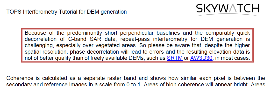
The maximum spatial resolution lies at about 10 m but often multi-looking improves the results (but lowers the spatial resolution to 20 or 30 meters).
Ok that’s what I thought. So if I don’t multi-look, it should stay at 10 meters.
yes, but this does not automatically make it better than openly available DEMs, such as SRTM or the Copernicus DEM (both 30m).
Indeed, one could state that the quality of the S-1 DEM will almost always be worse, and especially over a larger area. Locally in optimal conditions the quality can be quite good.