Is there a convenient way to divide a certain county into square grids to get all of the four coordinates belonging each of the square grids?
Thank you so much.
@ABraun can you please tell me about the steps.
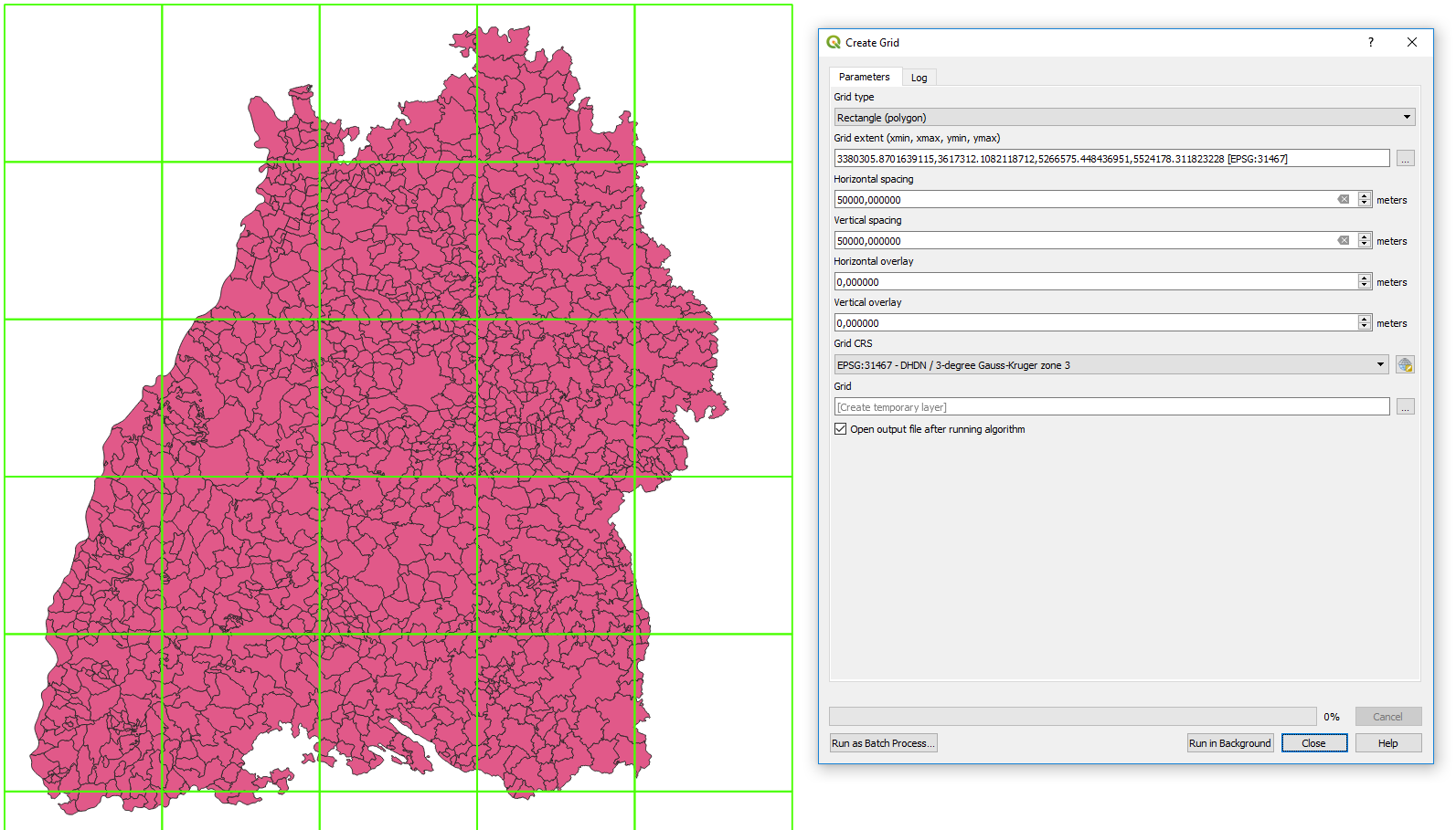
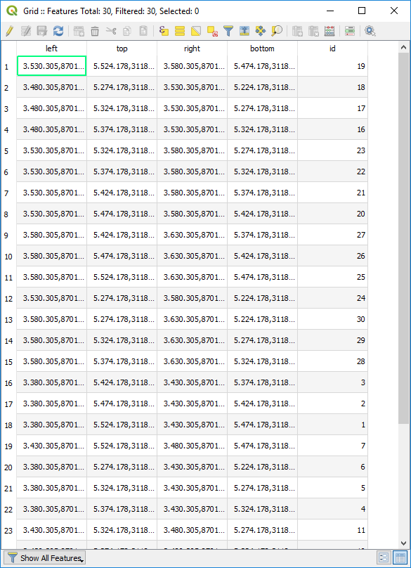
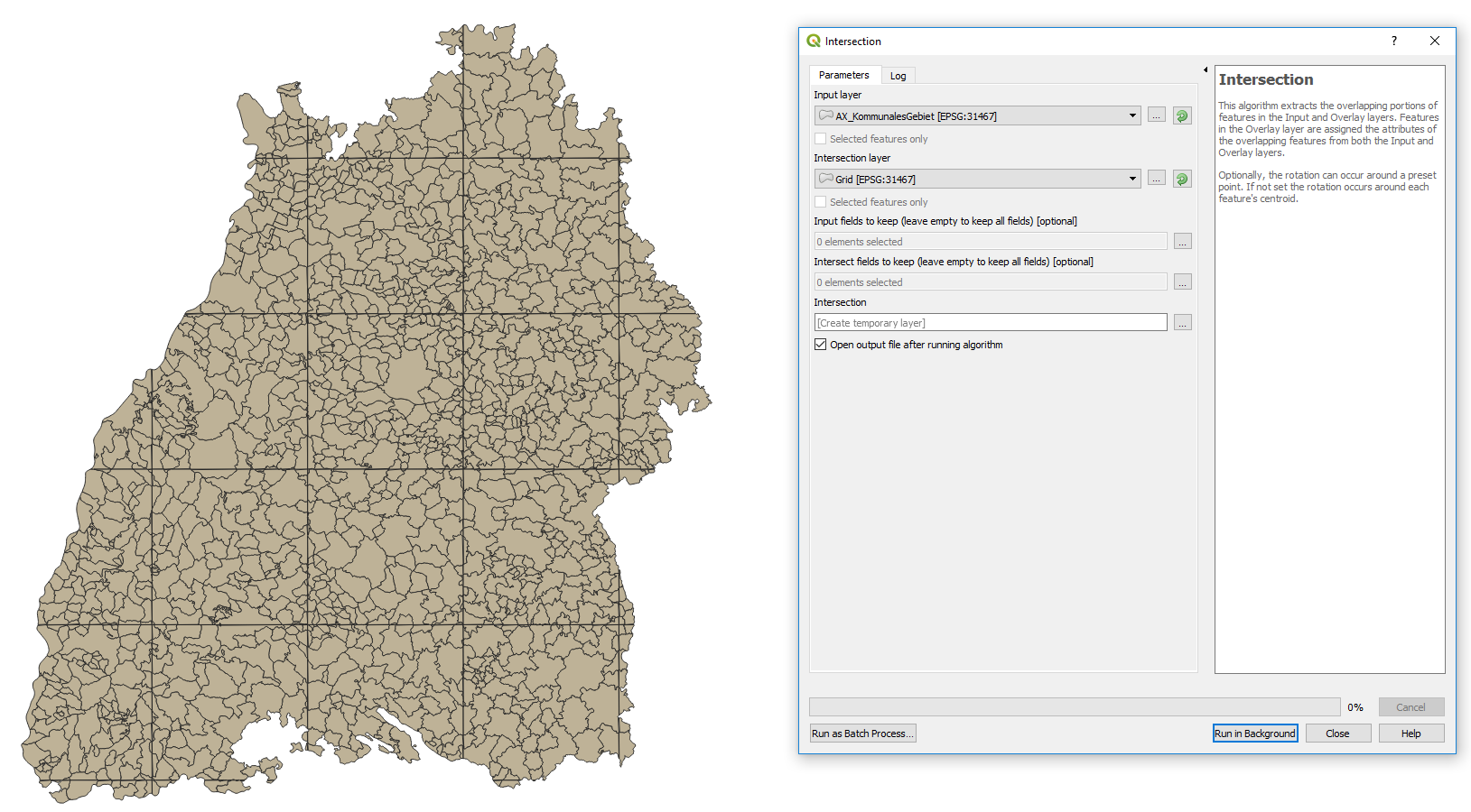
Load the data into QGIS and apply Create Grid at a distance of your choice and then apply intersect based on the grid and your polygons.
1 Like