how to do geometric correction in sentinel 3A SLSTR using SNAP
Step need for getting L1- L3 using snap
Geometric correction
Atmospheric correction
how to do geometric correction in sentinel 3A SLSTR using SNAP
Step need for getting L1- L3 using snap
Geometric correction
Atmospheric correction
If you enable the per-pixel geo-coding in the options, the data is already orthorectified.
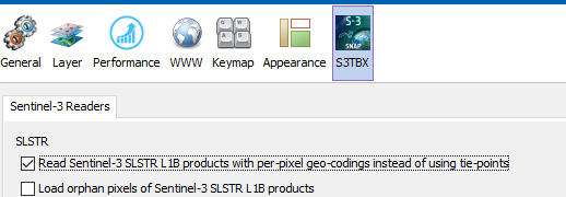
So, there is no need for an addition geometric correction.
An atmospheric correction for SLSTR is not available in SNAP.
Thank you for your reply…I know SST direct product are available but I want to get SST from L1 data, for that what are the step need to do by SNAP, if cannot suggest some procedure to get sst
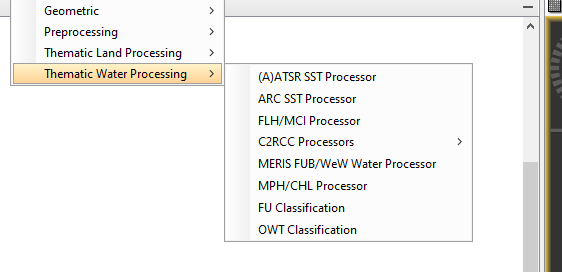
You can use the ARC SST processor.
If you want to use your own algorithm it depends on the complexity.
It could be possible to use the Band Maths, or you need to implement it in Java or Python.
How to create a new operator - SNAP - Confluence (atlassian.net)
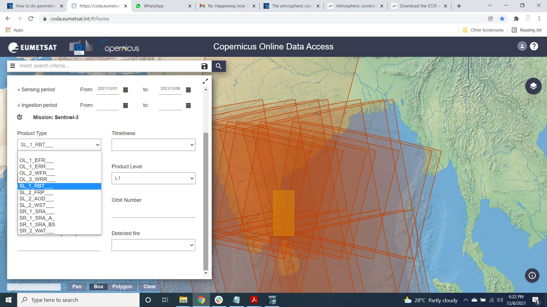
Also may I know one thing , It is possible to get SLSTR L1 data for ocean or Coastal side. I tried to find data but There is only SL1RBT if I am not wrong (this image for land ) can you please how to download that data.
Thank you
For L1 there is no separation in Land and Water. Only for L2.
User Guides - Sentinel-3 SLSTR - Product Types - Sentinel Online - Sentinel Online (esa.int)
You can only download data for your defined region, either on land or water.
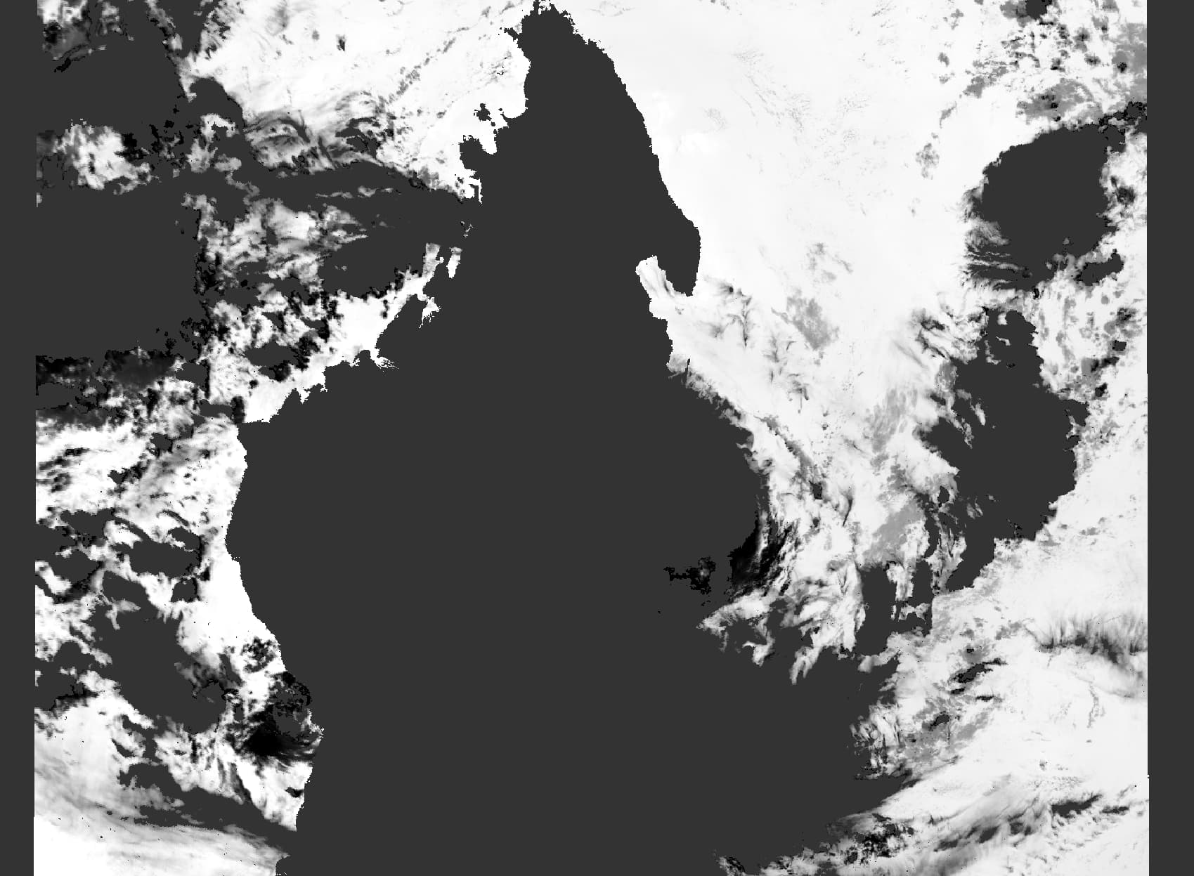
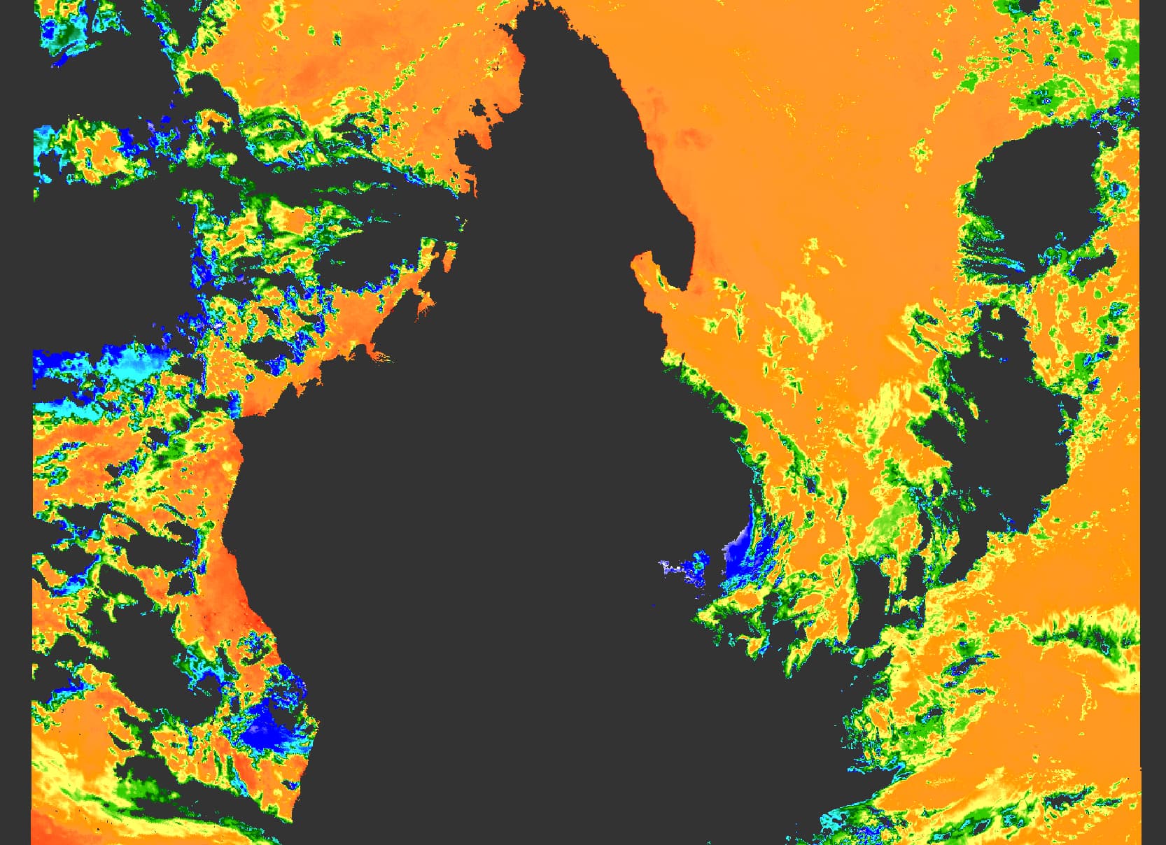
The output is not intended to be used directly in an RGB.
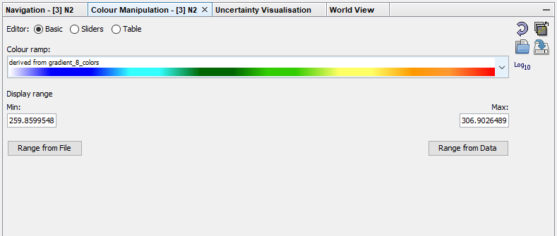
If you open for example the N2 band you get a view like this: